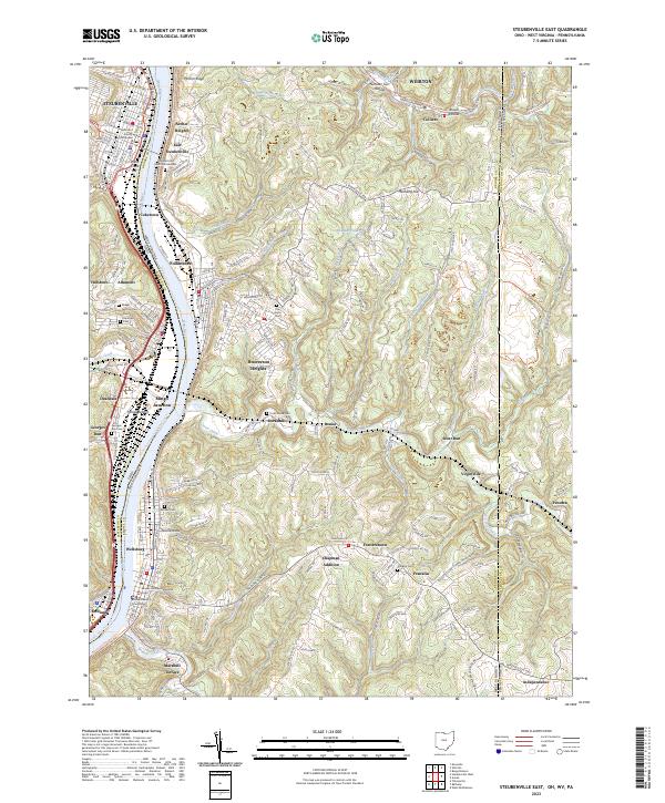
2023 Map of Steubenville East
USGS Topo · Published 2023About this map
The Ohio River carves a deep valley through this industrial corridor along the border of Ohio and West Virginia, anchoring a string of historic river towns. From Steubenville and Mingo Junction on the western bank to Follansbee and Wellsburg on the eastern side, the map reveals a landscape defined by steel-industry origins and steep topography. The convergence of the Wheeling & Lake Erie RR and Norfolk Southern Railway highlights the area’s enduring role as a transportation hub. Local history is deeply etched into the hillsides at Mingo Junction Cem and Saint Andrews Cem, while the Brooke Pioneer Rail-Trl and Panhandle Rail-Trl reflect the modern repurposing of former industrial corridors. The transition from the dense urban grids of Archer Heights and Hooverson Heights to the high ridges of McKim Ridge and Mechling Hill illustrates the challenging terrain that governed regional development.
Find a feature on this map
66 named features on this map. Tap any name to fly to it.
Don’t see what you’re looking for? This feature index may not catch every label — zoom into the map to look around manually.
Map Details
Editions of this 2023 Steubenville East Map
This is the sole edition of this map. No revisions or reprints were ever made.
Other maps of this area

1902 · Wheeling
USGS Topo · 1:62,500

1904 · Steubenville
USGS Topo · 1:62,500

1904 · Burgettstown
USGS Topo · 1:62,500

1906 · Burgettstown
USGS Topo · 1:62,500

1907 · Claysville
USGS Topo · 1:62,500

1935 · Wheeling
USGS Topo · 1:62,500

1935 · Steubenville
USGS Topo · 1:62,500

1942 · Wheeling
USGS Topo · 1:62,500

1942 · Steubenville
USGS Topo · 1:62,500

1951 · Canton
USGS Topo · 1:250,000