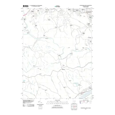
2011 Map of Steubenville West
USGS Topo · Published 2011About this map
The Ohio River forms a dominant industrial and transit corridor in this 2011 survey, marking the eastern edge of a landscape defined by deep valleys and high ridges. The settlement of Brilliant sits at the river's edge, anchored by the Brilliant Post Office, while the heavy industrial presence of the Cardinal Fly Ash Retention Reservoir and its associated dam occupy the nearby hills. The local infrastructure is notable for its engineering history, featuring several underground passages including the Gould Tunnel, Adams Tunnel, and Hunter Tunnel which cut through the dissected terrain to facilitate movement.
Find a feature on this map
112 named features on this map. Tap any name to fly to it.
Don’t see what you’re looking for? This feature index may not catch every label — zoom into the map to look around manually.
Map Details
Editions of this 2011 Steubenville West Map
This is the sole edition of this map. No revisions or reprints were ever made.
Other maps of this area

1901 · Cadiz
USGS Topo · 1:62,500

1902 · Wheeling
USGS Topo · 1:62,500

1903 · Cadiz
USGS Topo · 1:62,500

1904 · Steubenville
USGS Topo · 1:62,500

1905 · St. Clairsville
USGS Topo · 1:62,500

1935 · Wheeling
USGS Topo · 1:62,500

1935 · Steubenville
USGS Topo · 1:62,500

1942 · Wheeling
USGS Topo · 1:62,500

1942 · Steubenville
USGS Topo · 1:62,500

1951 · Canton
USGS Topo · 1:250,000