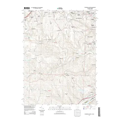
2013 Map of Steubenville West
USGS Topo · Published 2013About this map
The hills of Jefferson County west of Steubenville are marked by a dense network of suburban additions and historical burial grounds. The transition from the urban riverfront toward the rural interior is evident in the cluster of residential developments such as Swickards Addition, Wintersville, and La Belle View. Significant local history is preserved in numerous consecrated spaces, including the large Mt Calvary Cem and Union Cem near the city, as well as the more remote Cross Creek Presbyterian Cem and Tent Church Cem.
Find a feature on this map
125 named features on this map. Tap any name to fly to it.
Don’t see what you’re looking for? This feature index may not catch every label — zoom into the map to look around manually.
Map Details
Editions of this 2013 Steubenville West Map
This is the sole edition of this map. No revisions or reprints were ever made.
Other maps of this area

1901 · Cadiz
USGS Topo · 1:62,500

1902 · Wheeling
USGS Topo · 1:62,500

1903 · Cadiz
USGS Topo · 1:62,500

1904 · Steubenville
USGS Topo · 1:62,500

1905 · St. Clairsville
USGS Topo · 1:62,500

1935 · Wheeling
USGS Topo · 1:62,500

1935 · Steubenville
USGS Topo · 1:62,500

1942 · Wheeling
USGS Topo · 1:62,500

1942 · Steubenville
USGS Topo · 1:62,500

1951 · Canton
USGS Topo · 1:250,000