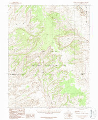
1987 Map of Stevens Canyon North
USGS Topo · Published 1987About this map
Waterpocket Fold dominates the eastern portion of this 1987 provisional survey, showcasing the dramatic monocline that defines the regional geology. The landscape is divided by the border of Garfield and Kane Counties, where the high desert terrain transitions into the protected lands of Capitol Reef National Park and the expansive Glen Canyon National Recreation Area. These federal lands preserve a network of deep drainages including Stevens Canyon and East Moody Canyon, which illustrate the intricate erosion patterns of the Colorado Plateau. The map captures this remote area before modern digital mapping, reflecting the complex topography near Halls Creek and Millers Creek through detailed contour work based on 1981 aerial photography.
Find a feature on this map
8 named features on this map. Tap any name to fly to it.
Don’t see what you’re looking for? This feature index may not catch every label — zoom into the map to look around manually.
Map Details
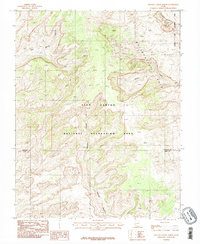
Editions of this 1987 Stevens Canyon North Map
2 editions found
Other maps of this area

1886 · Escalante
USGS Topo · 1:250,000

1886 · Henry Mountains
USGS Topo · 1:250,000

1892 · Henry Mountains
USGS Topo · 1:250,000

1953 · Mt Pennell 3 NW
USGS Topo · 1:24,000

1953 · Mt Pennell 3 SW
USGS Topo · 1:24,000

1953 · Circle Cliffs 4 NE
USGS Topo · 1:24,000

1953 · The Rincon
USGS Topo · 1:62,500

1953 · Hall Mesa
USGS Topo · 1:62,500

1953 · Moody Creek
USGS Topo · 1:62,500

1956 · Escalante
USGS Topo · 1:250,000