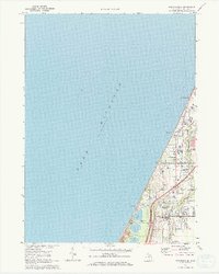
1970 Map of Stevensville
USGS Topo · Published 1973About this map
The coastal landscape of Lincoln Township is dominated by the shifting sands and blue expanse of Lake Michigan, which shapes the residential and industrial patterns of the early 1970s. The village of Stevensville serves as a central hub, anchored by the Chesapeake and Ohio railroad corridor and the nearby Interstate 94. This era shows a community in transition, balancing established agricultural tracts with modern suburban landmarks like the Drive-in Theater and the growing campus of Lake Shore Sch.
Find a feature on this map
19 named features on this map. Tap any name to fly to it.
Don’t see what you’re looking for? This feature index may not catch every label — zoom into the map to look around manually.
Map Details
Editions of this 1970 Stevensville Map
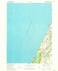
2 editions found
Other maps of this area

1927 · Niles
USGS Topo · 1:62,500

1927 · Benton Harbor
USGS Topo · 1:62,500

1930 · Three Oaks
USGS Topo · 1:62,500

1930 · Benton Harbor
USGS Topo · 1:62,500

1930 · Niles
USGS Topo · 1:62,500

1943 · Niles
USGS Topo · 1:62,500

1944 · Three Oaks
USGS Topo · 1:62,500

1953 · Chicago
USGS Topo · 1:250,000

1957 · Chicago
USGS Topo · 1:250,000

1958 · Racine
USGS Topo · 1:250,000