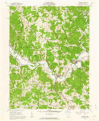
1961 Map of Stewart
USGS Topo · Published 1962About this map
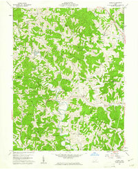
Wayne National Forest land dominates this 1961 landscape in Athens County, where the meandering Hocking River carves a path through the steep terrain of Dutch Ridge and Riley Hill. The river valley serves as the primary corridor for transportation, carrying the Baltimore and Ohio railroad past riverside settlements like Stewart, Guysville, and Canaanville. The geography here is defined by numerous small hollows and runs, including Miller Run and Tiger Run, which drain the surrounding ridges into the main river channel.
Find a feature on this map
53 named features on this map. Tap any name to fly to it.
Don’t see what you’re looking for? This feature index may not catch every label — zoom into the map to look around manually.
Map Details
Editions of this 1961 Stewart Map
4 editions found
Other maps of this area

1903 · Athens
USGS Topo · 1:62,500

1904 · Chesterhill
USGS Topo · 1:62,500

1905 · Athens
USGS Topo · 1:62,500

1906 · Chesterhill
USGS Topo · 1:62,500

1907 · Pomeroy
USGS Topo · 1:62,500

1907 · Keno
USGS Topo · 1:62,500

1947 · Columbus
USGS Topo · 1:250,000

1949 · Clarksburg
USGS Topo · 1:250,000

1956 · Clarksburg
USGS Topo · 1:250,000
1960 · Alfred
USGS Topo · 1:24,000