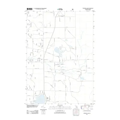
2012 Map of Stewart Lake
USGS Topo · Published 2012About this map
The Little Manistee River winds through this heavily forested landscape in Lake County, defining a region rich in recreational and natural features during the early 21st century. The map highlights a series of significant inland waters, including Stewart Lake, Wolf Lake, and Syers Lake, which are interconnected by various creeks and local trail systems. The presence of the Old Grade Campground and the Old Grade Trail Camp suggests the importance of forest management and outdoor recreation in this area, which is further crisscrossed by specialized routes like the Moto Cros Trl. Settlement is sparse, anchored by locations such as Denison and the Peacock Cem, reflecting the rural, low-density character of Eden Township. A grid of county roads, such as 8 Mile Rd and 7 Mile Rd, provides access to these remote northern Michigan woodlands and the complex drainage of the Twin Cr system.
Find a feature on this map
78 named features on this map. Tap any name to fly to it.
Don’t see what you’re looking for? This feature index may not catch every label — zoom into the map to look around manually.
Map Details
Editions of this 2012 Stewart Lake Map
This is the sole edition of this map. No revisions or reprints were ever made.
Other maps of this area

1931 · Baldwin NW
USGS Topo · 1:31,680

1931 · Baldwin NE
USGS Topo · 1:31,680

1932 · Chase NW
USGS Topo · 1:31,680

1933 · Peacock SE
USGS Topo · 1:31,680

1933 · Peacock SW
USGS Topo · 1:31,680

1933 · Peacock NE
USGS Topo · 1:31,680

1933 · Luther SW
USGS Topo · 1:31,680

1933 · Luther NW
USGS Topo · 1:31,680

1933 · Peacock NW
USGS Topo · 1:31,680

1954 · Traverse City
USGS Topo · 1:250,000