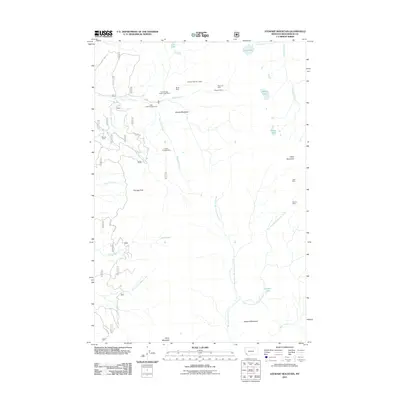
2011 Map of Stewart Mountain
USGS Topo · Published 2011About this map
Mining claims and high-altitude lakes define this rugged portion of Beaverhead County. The northern terrain is marked by significant mining operations, including the Franklin Number 1 Mine, Shelly Mine, and the dual shafts of the Maynard Mine. These sites are linked by access routes like FS Road 2434 and Steel Fox RD, which also provide entry to the Steel Creek Campground along Steel Creek.
Find a feature on this map
33 named features on this map. Tap any name to fly to it.
Don’t see what you’re looking for? This feature index may not catch every label — zoom into the map to look around manually.
Map Details
Editions of this 2011 Stewart Mountain Map
This is the sole edition of this map. No revisions or reprints were ever made.
Other maps of this area

1955 · Dillon
USGS Topo · 1:250,000

1957 · Dillon
USGS Topo · 1:250,000

1958 · Dillon
USGS Topo · 1:250,000

1959 · Polaris
USGS Topo · 1:62,500

1962 · Dillon
USGS Topo · 1:250,000

1962 · Wisdom
USGS Topo · 1:24,000

1962 · Mud Lake
USGS Topo · 1:24,000

1962 · Stewart Mountain
USGS Topo · 1:24,000

1962 · Proposal Rock
USGS Topo · 1:24,000

1965 · Dillon
USGS Topo · 1:250,000