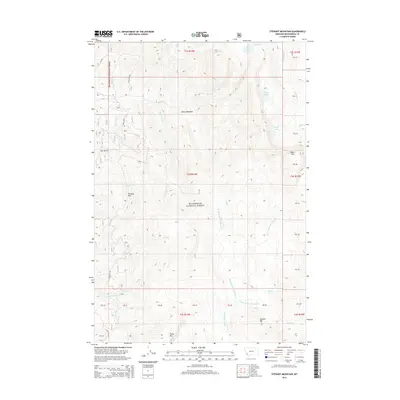
2014 Map of Stewart Mountain
USGS Topo · Published 2014About this map
Beaverhead National Forest covers the high-elevation landscape of Beaverhead County in this 2014 survey. The topography is defined by prominent peaks including Stewart Mtn, Odell Mtn, and Camp Mtn, which overlook a network of alpine lakes and headwater streams. Notable water bodies such as Stewart Lake, Sand Lake, and the remote Lily Lake are primary landmarks in this mountainous terrain. Level openings in the forest are identified as Moose Meadows and Triangle Park, suggesting natural clearings or grazing areas within the dense timber. A complex system of drainages, including Wisconsin Cr and several forks of Warm Springs Cr, carves the landscape, while access is limited to a few primitive routes like Steel Creek Rd. The map illustrates the specialized geography of the Pioneer Mountains, emphasizing the natural features and drainage patterns essential for backcountry navigation and resource management.
Find a feature on this map
33 named features on this map. Tap any name to fly to it.
Don’t see what you’re looking for? This feature index may not catch every label — zoom into the map to look around manually.
Map Details
Editions of this 2014 Stewart Mountain Map
This is the sole edition of this map. No revisions or reprints were ever made.
Other maps of this area

1955 · Dillon
USGS Topo · 1:250,000

1957 · Dillon
USGS Topo · 1:250,000

1958 · Dillon
USGS Topo · 1:250,000

1959 · Polaris
USGS Topo · 1:62,500

1962 · Dillon
USGS Topo · 1:250,000

1962 · Wisdom
USGS Topo · 1:24,000

1962 · Mud Lake
USGS Topo · 1:24,000

1962 · Stewart Mountain
USGS Topo · 1:24,000

1962 · Proposal Rock
USGS Topo · 1:24,000

1965 · Dillon
USGS Topo · 1:250,000