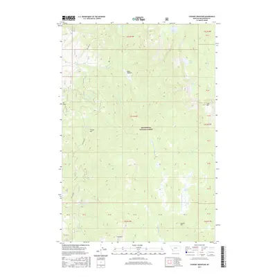
2017 Map of Stewart Mountain
USGS Topo · Published 2017About this map
Beaverhead National Forest encompasses this high-elevation landscape, where a network of mountain streams and glacial lakes defines the drainages of southwest Montana. The terrain is anchored by several prominent summits, including Stewart Mountain, Odell Mountain, and Camp Mountain. Below these peaks, the hydrology is complex, with water flowing through Stewart Meadows and Moose Meadows into systems like Warm Springs Creek and Steel Creek. The 2017 survey reveals the limited human footprint in this wilderness area, restricted primarily to Forest Service access routes such as Steel Creek Road and Steel Fox Road. For those tracking the geography of the Pioneer Mountains, the map details numerous small water bodies like Stewart Lake, Baldy Lake, and Lily Lake, alongside topographic landmarks like Triangle Park and Dry Gulch.
Find a feature on this map
34 named features on this map. Tap any name to fly to it.
Don’t see what you’re looking for? This feature index may not catch every label — zoom into the map to look around manually.
Map Details
Editions of this 2017 Stewart Mountain Map
This is the sole edition of this map. No revisions or reprints were ever made.
Other maps of this area

1955 · Dillon
USGS Topo · 1:250,000

1957 · Dillon
USGS Topo · 1:250,000

1958 · Dillon
USGS Topo · 1:250,000

1959 · Polaris
USGS Topo · 1:62,500

1962 · Dillon
USGS Topo · 1:250,000

1962 · Wisdom
USGS Topo · 1:24,000

1962 · Mud Lake
USGS Topo · 1:24,000

1962 · Stewart Mountain
USGS Topo · 1:24,000

1962 · Proposal Rock
USGS Topo · 1:24,000

1965 · Dillon
USGS Topo · 1:250,000