
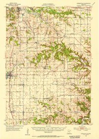
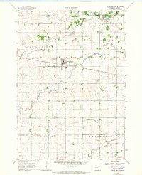
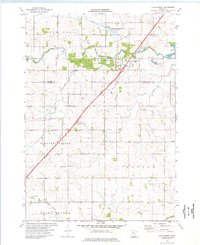
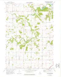
1974 Map of Stewartville
USGS Topo · Published 1976About this map
Root River waters and the Chicago and North Western rail line shaped this corner of southeastern Minnesota in the mid-1970s. The town of Stewartville serves as the primary hub, where Lake Florence and the Willow Greens Country Club sit near the crossing of Highway 63 and Interstate 90. The map reveals a landscape balancing agricultural use with the Minnesota Memorial Hardwood State Forest, showing several small communities like Racine, Hamilton, and Sumner Center linked by county roads.
Find a feature on this map
37 named features on this map. Tap any name to fly to it.
Don’t see what you’re looking for? This feature index may not catch every label — zoom into the map to look around manually.
Map Details
Editions of this 1974 Stewartville Map
This is the sole edition of this map. No revisions or reprints were ever made.
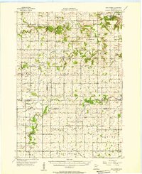
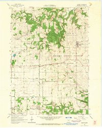
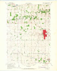
Other maps of this area

1954 · Mason City
USGS Topo · 1:250,000
1955 · Stewartville
USGS Topo · 1:62,500
1955 · High Forest
USGS Topo · 1:62,500

1957 · Mason City
USGS Topo · 1:250,000

1958 · Mason City
USGS Topo · 1:250,000
1965 · Wykoff
USGS Topo · 1:24,000
1965 · Spring Valley
USGS Topo · 1:24,000
1965 · Grand Meadow
USGS Topo · 1:24,000
1974 · High Forest
USGS Topo · 1:24,000
1974 · Salem Corners
USGS Topo · 1:24,000