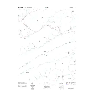
2013 Map of Stickleyville
USGS Topo · Published 2013About this map
Stickleyville and Woodway serve as the primary hubs in this Lee County landscape, situated where the ridge-and-valley terrain of the Appalachians dictates the flow of commerce and community. The map reveals a high density of named geographic features that speak to generations of local settlement, from the depths of Rasnic Hollow to the heights of Elk Knob and Buzzard Roost. The hydrology of the region is particularly distinct, featuring the Powell River and a complex network of creeks including Wallen Cr and Station Cr. Notable geological landmarks such as The Sinks and the Blue Spring near Stickleyville indicate the karst topography prevalent in this part of Virginia. This survey documents the modern road network, including State Route 1023 and Canton Rd, which connect smaller communities like Canton and Fairview through the narrow corridors of England Valley and Sulphur Spring Valley.
Find a feature on this map
66 named features on this map. Tap any name to fly to it.
Don’t see what you’re looking for? This feature index may not catch every label — zoom into the map to look around manually.
Map Details
Editions of this 2013 Stickleyville Map
This is the sole edition of this map. No revisions or reprints were ever made.
Other maps of this area

1887 · Jonesville
USGS Topo · 1:125,000

1891 · Jonesville
USGS Topo · 1:125,000

1894 · Estillville
USGS Topo · 1:125,000

1916 · Nolansburg
USGS Topo · 1:48,000

1919 · Nolansburg
USGS Topo · 1:62,500

1921 · Big Stone Gap
USGS Topo · 1:48,000

1922 · Big Stone Gap
USGS Topo · 1:62,500

1929 · Big Stone Gap
USGS Topo · 1:62,500

1935 · Kyles Ford
USGS Topo · 1:24,000

1935 · Looneys Gap
USGS Topo · 1:24,000