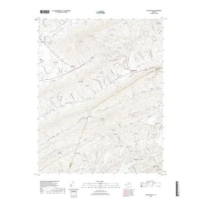
2019 Map of Stickleyville
USGS Topo · Published 2019About this map
Stickleyville and its surrounding mountain gaps define this portion of the Appalachian landscape in Lee County, where the historic Daniel Boone Trl cuts across the terrain. The map documents a dense network of family and community history, evidenced by numerous burial grounds including the Odd Fellows Cem, Newberry Cem, and the Station Creek Church Cem. This area is characterized by dramatic topographic shifts between Wallen Ridge and the Back Valley, with the Powell River winding through the northern reaches. Geologic features such as The Sinks near Canton suggest the limestone karst common to the region. Small settlements like Woodway and Fairview are connected by a web of winding routes such as Wilderness Rd and Kane Gap Rd, tracing the early migration and settlement patterns through the Clinch River watershed.
Find a feature on this map
130 named features on this map. Tap any name to fly to it.
Don’t see what you’re looking for? This feature index may not catch every label — zoom into the map to look around manually.
Map Details
Editions of this 2019 Stickleyville Map
This is the sole edition of this map. No revisions or reprints were ever made.
Other maps of this area

1887 · Jonesville
USGS Topo · 1:125,000

1891 · Jonesville
USGS Topo · 1:125,000

1894 · Estillville
USGS Topo · 1:125,000

1916 · Nolansburg
USGS Topo · 1:48,000

1919 · Nolansburg
USGS Topo · 1:62,500

1921 · Big Stone Gap
USGS Topo · 1:48,000

1922 · Big Stone Gap
USGS Topo · 1:62,500

1929 · Big Stone Gap
USGS Topo · 1:62,500

1935 · Kyles Ford
USGS Topo · 1:24,000

1935 · Looneys Gap
USGS Topo · 1:24,000