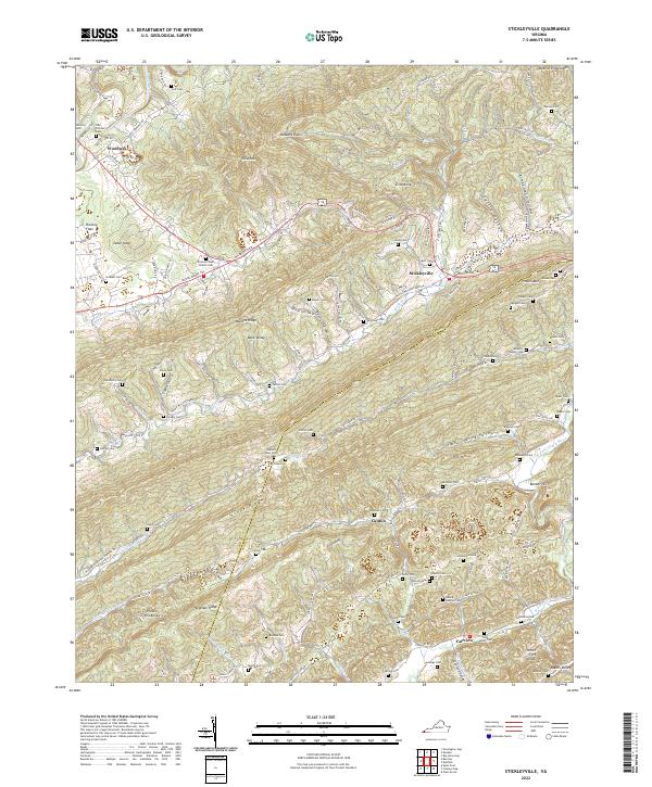
2022 Map of Stickleyville
USGS Topo · Published 2022About this map
The ridge-and-valley topography of southwestern Virginia dominates this study, where the Wilderness Rd and Daniel Boone Trl trace historic passage through the gap at Stickleyville. The landscape is a complex network of narrow hollows and high ridges, including Wallens Ridge and Powell Mtn, where small settlements like Canton and Back Valley are tucked into the terrain. A high concentration of family cemeteries, such as Newberry Cem, Graham Cem, and Odd Fellows Cem, provides a detailed record of the long-standing community ties in this corner of Lee and Scott counties.
Find a feature on this map
79 named features on this map. Tap any name to fly to it.
Don’t see what you’re looking for? This feature index may not catch every label — zoom into the map to look around manually.
Map Details
Editions of this 2022 Stickleyville Map
This is the sole edition of this map. No revisions or reprints were ever made.
Other maps of this area

1887 · Jonesville
USGS Topo · 1:125,000

1891 · Jonesville
USGS Topo · 1:125,000

1894 · Estillville
USGS Topo · 1:125,000

1916 · Nolansburg
USGS Topo · 1:48,000

1919 · Nolansburg
USGS Topo · 1:62,500

1921 · Big Stone Gap
USGS Topo · 1:48,000

1922 · Big Stone Gap
USGS Topo · 1:62,500

1929 · Big Stone Gap
USGS Topo · 1:62,500

1935 · Kyles Ford
USGS Topo · 1:24,000

1935 · Looneys Gap
USGS Topo · 1:24,000