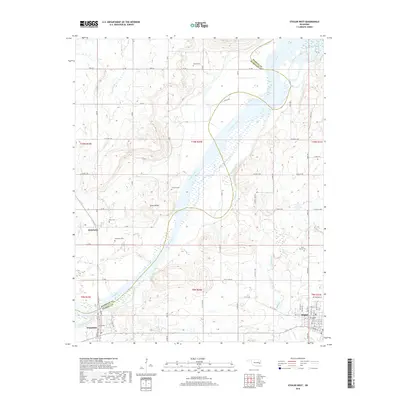
2018 Map of Stigler West
USGS Topo · Published 2018About this map
Stigler anchors the southeastern corner of this landscape, where the street grid of the county seat transitions into the rural hills and creek bottoms of Haskell County. The Canadian River winds broadly through the center of the sheet, defining the boundary with Muskogee County to the west. This river corridor has long shaped local movement, evidenced by the cluster of settlements like Whitefield and Briartown that sit just above the floodplain. Genealogists will find a high density of rural burial sites preserved here, including Whitefield Cem, Stigler Cem, and the more isolated Starr Cem near the banks of Starrvilla Cr. To the west of the river, Turkey Knob provides a distinct topographic landmark amidst the network of drainage basins like Taloka Creek and Snake Creek that feed into the main river channel.
Find a feature on this map
84 named features on this map. Tap any name to fly to it.
Don’t see what you’re looking for? This feature index may not catch every label — zoom into the map to look around manually.
Map Details
Editions of this 2018 Stigler West Map
This is the sole edition of this map. No revisions or reprints were ever made.
Other maps of this area

1900 · Sansbois
USGS Topo · 1:125,000

1909 · Sans Bois
USGS Topo · 1:125,000

1911 · Sansbois
USGS Topo · 1:125,000

1946 · Fort Smith
USGS Topo · 1:250,000

1962 · Stigler East
USGS Topo · 1:24,000

1962 · Stigler West
USGS Topo · 1:24,000
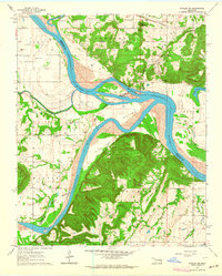
1963 · Stigler NE
USGS Topo · 1:24,000

1963 · Porum
USGS Topo · 1:24,000
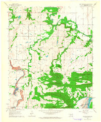
1963 · Holt Mountain
USGS Topo · 1:24,000
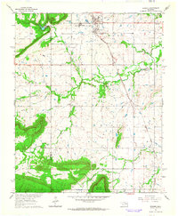
1963 · Warner
USGS Topo · 1:24,000