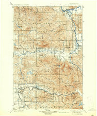
1901 Map of Stillaguamish
USGS Topo · Published 1937About this map
The Northern Pacific RR follows the jagged course of the South Fork Stillaguamish River in this turn-of-the-century look at the Cascades, reaching the mining and timber settlement of Silverton. This terrain is dominated by the massive peaks of the Mount Baker National Forest, including the distinct silhouette of Three Fingers and the formidable White Horse Mtn. At the confluence of mountain waters, Darrington and Oso serve as early focal points for river-valley travel and industry. The presence of multiple fire watch stations, such as Higgins Mtn Lookout and Gee Pt Lookout, highlights the vital role of forest management in this timber-rich region. The map also captures the sprawling drainage systems of the Sauk River and the Suiattle River in the northeast, where the Sauk settlement and Mansford Prairie mark the transition from river bottoms to high alpine wilderness.
Find a feature on this map
110 named features on this map. Tap any name to fly to it.
Don’t see what you’re looking for? This feature index may not catch every label — zoom into the map to look around manually.
Map Details
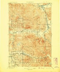
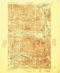
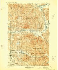
Editions of this 1901 Stillaguamish Map
6 editions found

Other maps of this area

1895 · Snohomish
USGS Topo · 1:125,000

1897 · Seattle
USGS Topo · 1:125,000

1899 · Glacier Peak
USGS Topo · 1:125,000

1899 · Stillaguamish
USGS Topo · 1:125,000

1901 · Glacier Peak
USGS Topo · 1:125,000

1901 · Stilaguamish
USGS Topo · 1:125,000

1902 · Skykomish
USGS Topo · 1:125,000

1905 · Skykomish
USGS Topo · 1:125,000

1909 · Mt Baker
USGS Topo · 1:192,000

1911 · Mount Vernon
USGS Topo · 1:125,000