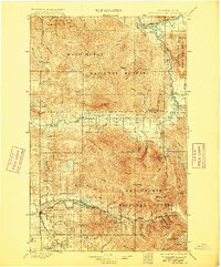
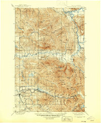
1901 Map of Stilaguamish
USGS Topo · Published 1915About this map
The Stilaguamish River and its mountain-fed tributaries dominate this early twentieth-century survey of the North Cascades. High-elevation peaks like White Horse Mt and the triple-spired Three Fingers overlook a landscape where resource extraction and transportation corridors were rapidly expanding. The map documents the Monte Cristo Branch and Northern Pacific railroads pushing into the valleys to serve mining and timber interests. Settlements such as Silverton, Gold Basin, and Darrington appear as vital hubs along these routes, while the upper reaches are preserved within the Snoqualmie National Forest. Numerous alpine lakes, including Independence Lake and Helena Lake, are charted among the ridges, illustrating the complex drainage systems of the Sauk River and Suiattle River basins during this period of significant regional development.
Find a feature on this map
93 named features on this map. Tap any name to fly to it.
Don’t see what you’re looking for? This feature index may not catch every label — zoom into the map to look around manually.
Map Details
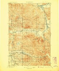
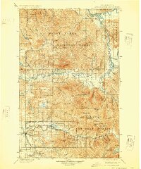
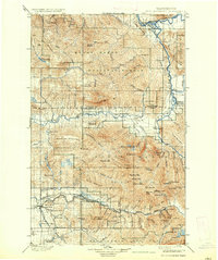
Editions of this 1901 Stilaguamish Map
6 editions found
Other maps of this area

1895 · Snohomish
USGS Topo · 1:125,000

1897 · Seattle
USGS Topo · 1:125,000

1899 · Glacier Peak
USGS Topo · 1:125,000

1899 · Stillaguamish
USGS Topo · 1:125,000

1901 · Glacier Peak
USGS Topo · 1:125,000

1901 · Stilaguamish
USGS Topo · 1:125,000

1902 · Skykomish
USGS Topo · 1:125,000

1905 · Skykomish
USGS Topo · 1:125,000

1909 · Mt Baker
USGS Topo · 1:192,000

1911 · Mount Vernon
USGS Topo · 1:125,000