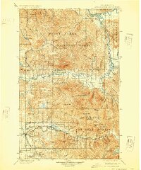
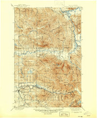
1901 Map of Stilaguamish
USGS Topo · Published 1928About this map
Silverton and Gold Basin anchor the mountain valleys of the Cascades at the turn of the century, serving as key points along the Monte Cristo Branch rail line. This 1890s survey, published later by the U.S. Geological Survey, reveals a landscape defined by heavy timber and mineral extraction, where the Northern Pacific RR pushed into the river valleys to connect remote settlements. The terrain is dramatically partitioned between the Mount Baker National Forest and the Snoqualmie National Forest, with peaks like Three Fingers and White Horse Mtn towering over the drainages of the Sauk River and the North Fork Stilaguamish River. For genealogists and local historians, the map preserves the exact locations of early communities such as Oso, Darrington, and Granite Falls before mid-century development altered the character of the Stillaguamish and Skagit watersheds.
Find a feature on this map
80 named features on this map. Tap any name to fly to it.
Don’t see what you’re looking for? This feature index may not catch every label — zoom into the map to look around manually.
Map Details
Editions of this 1901 Stilaguamish Map
6 editions found
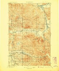
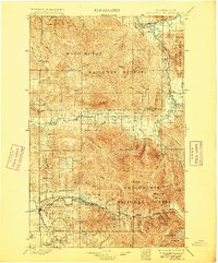
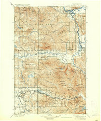
Other maps of this area

1895 · Snohomish
USGS Topo · 1:125,000

1897 · Seattle
USGS Topo · 1:125,000

1899 · Glacier Peak
USGS Topo · 1:125,000

1899 · Stillaguamish
USGS Topo · 1:125,000

1901 · Glacier Peak
USGS Topo · 1:125,000

1901 · Stilaguamish
USGS Topo · 1:125,000

1902 · Skykomish
USGS Topo · 1:125,000

1905 · Skykomish
USGS Topo · 1:125,000

1909 · Mt Baker
USGS Topo · 1:192,000

1911 · Mount Vernon
USGS Topo · 1:125,000