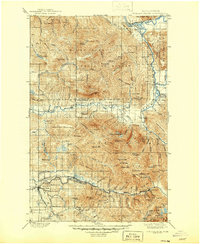
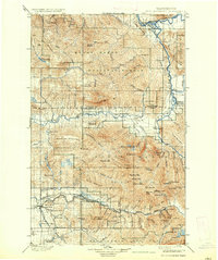
1901 Map of Stillaguamish
USGS Topo · Published 1946About this map
The North Fork Stillaguamish River and its southern counterpart carve through the heart of this landscape, defining the rugged geography of the North Cascades during the late nineteenth-century surveying period. The Northern Pacific Railway pushes into the mountain wilderness, reaching the mining and timber outposts of Silverton and Granite Falls. This era marks the transition of the region into a managed forest landscape, as seen in the sprawling boundaries of the Mount Baker National Forest. High-altitude lookouts including French Pt Lookout and Higgins Lookout emphasize the early importance of fire watch infrastructure in these timber-rich drainages. The map details a complex network of glacial peaks and remote alpine lakes, such as Copper Lake and Helena Lake, that remained largely inaccessible to all but the most determined prospectors and surveyors of the era.
Find a feature on this map
96 named features on this map. Tap any name to fly to it.
Don’t see what you’re looking for? This feature index may not catch every label — zoom into the map to look around manually.
Map Details
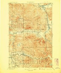
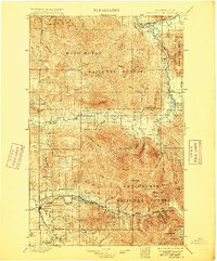
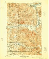
Editions of this 1901 Stillaguamish Map
6 editions found
Other maps of this area

1895 · Snohomish
USGS Topo · 1:125,000

1897 · Seattle
USGS Topo · 1:125,000

1899 · Glacier Peak
USGS Topo · 1:125,000

1899 · Stillaguamish
USGS Topo · 1:125,000

1901 · Glacier Peak
USGS Topo · 1:125,000

1901 · Stilaguamish
USGS Topo · 1:125,000

1902 · Skykomish
USGS Topo · 1:125,000

1905 · Skykomish
USGS Topo · 1:125,000

1909 · Mt Baker
USGS Topo · 1:192,000

1911 · Mount Vernon
USGS Topo · 1:125,000