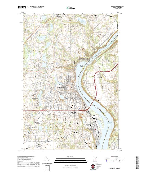
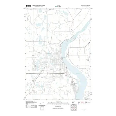
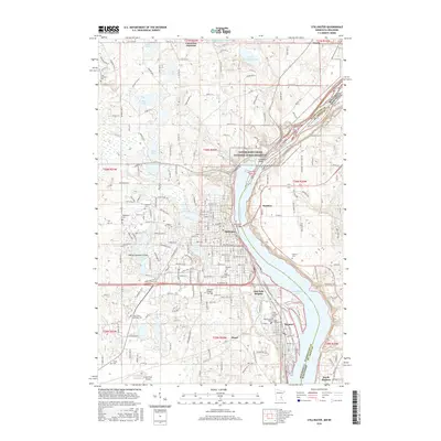
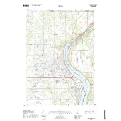
2022 Map of Stillwater
USGS Topo · Published 2022About this map
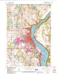
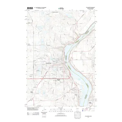
Stillwater stands as a prominent river town along the Saint Croix Wild and Scenic River, where the state line divides Minnesota and Wisconsin. This modern survey illustrates the dense development of the river valley, from the historic Washington County Courthouse to the newer corridors of Oak Park Heights and Bayport. To the west, the landscape transitions into a series of glacial lakes, including Silver Lake and Loon Lake, interspersed with established neighborhoods and several historic burial grounds like Boutwell Cem and Fairview Cem.
Find a feature on this map
52 named features on this map. Tap any name to fly to it.
Don’t see what you’re looking for? This feature index may not catch every label — zoom into the map to look around manually.
Map Details
Editions of this 2022 Stillwater Map
This is the sole edition of this map. No revisions or reprints were ever made.
Historical Maps of Stillwater Through Time
15 maps found
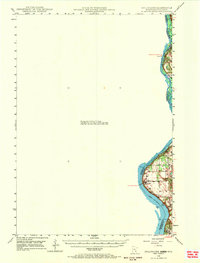
1948 Stillwater
Washington County, MN
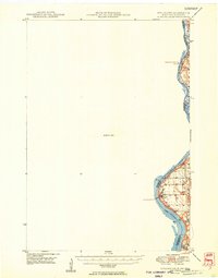
1949 Stillwater
Washington County, MN
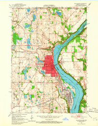
1951 Stillwater
Washington County, MN

1953 Stillwater
Washington County, MN

1955 Stillwater
Washington County, MN

1958 Stillwater
Washington County, MN

1965 Stillwater
Washington County, MN
1967 Stillwater
Washington County, MN

1975 Stillwater
Washington County, MN
1985 Stillwater
Washington County, MN
2010 Stillwater
Washington County, MN
2013 Stillwater
Washington County, MN
2016 Stillwater
Washington County, MN
2019 Stillwater
Washington County, MN
2022 Stillwater
Washington County, MN