
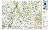
1965 Map of Stillwater
USGS Topo · Published 1965About this map
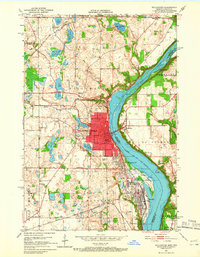
Minneapolis stands as the primary urban anchor at the southwestern corner of this mid-century landscape, where the Mississippi River and St Croix River define the major drainage basins. This era shows the Twin Cities’ northern expansion reaching toward Anoka and Stillwater, while the northern reaches remain dominated by state forests and conservation lands like Chengwatana State Forest and the St Croix State Park.
Find a feature on this map
270 named features on this map. Tap any name to fly to it.
Don’t see what you’re looking for? This feature index may not catch every label — zoom into the map to look around manually.
Map Details
Editions of this 1965 Stillwater Map
This is the sole edition of this map. No revisions or reprints were ever made.
Historical Maps of Millers Woods Home Owners Association Through Time
11 maps found
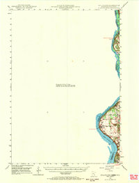
1948 Stillwater
Washington County, MN
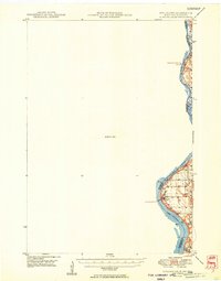
1949 Stillwater
Washington County, MN
1951 Stillwater
Washington County, MN

1953 Stillwater
Washington County, MN

1955 Stillwater
Washington County, MN

1958 Stillwater
Washington County, MN
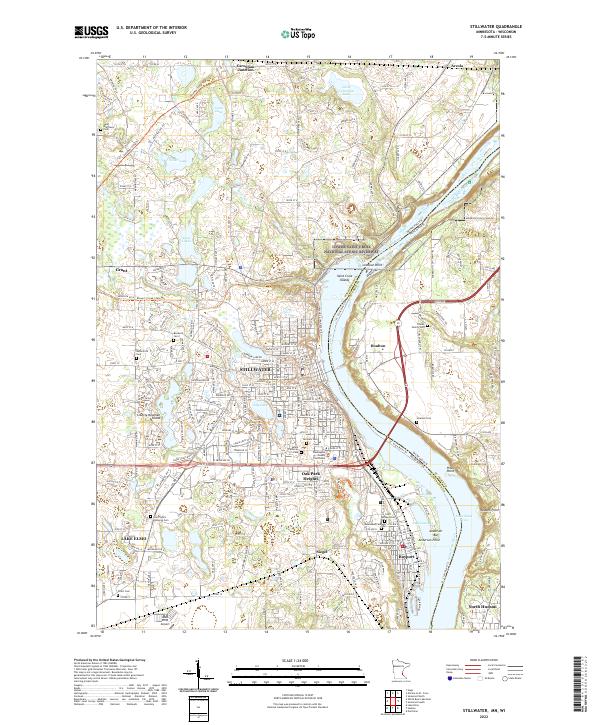
1965 Stillwater
Washington County, MN
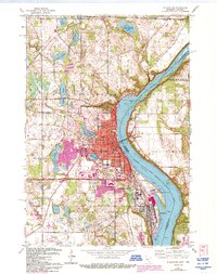
1967 Stillwater
Washington County, MN

1975 Stillwater
Washington County, MN
1985 Stillwater
Washington County, MN
2022 Stillwater
Washington County, MN