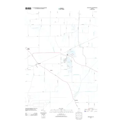
2013 Map of Stillwell
USGS Topo · Published 2013About this map
Stillwell and the residential community surrounding Upper Fish Lake anchor this 2013 survey of rural LaPorte County. The landscape is defined by the intricate hydrology of the Little Kankakee River and Kankakee River, which are fed by a network of drainage systems including Breckenridge Ditch and Barringer Ditch. This geography reflects the historical reclamation of the Grand Kankakee Marsh, where engineered channels and natural creek bends like Fish Cr coexist. Small settlements such as Salem Heights and Hamlet sit along the arterial roads and rail corridors that cross the marshlands. To the south, the village of Kankakee overlooks the river's path and the confluence of Pine Cr. The survey illustrates the persistence of these water-dependent communities and the heavy reliance on a rigid grid of country roads, from E Scholl RD to Hupp RD, that fragment the wetlands into agricultural parcels.
Find a feature on this map
85 named features on this map. Tap any name to fly to it.
Don’t see what you’re looking for? This feature index may not catch every label — zoom into the map to look around manually.
Map Details
Editions of this 2013 Stillwell Map
This is the sole edition of this map. No revisions or reprints were ever made.
Other maps of this area

1953 · Chicago
USGS Topo · 1:250,000

1957 · Chicago
USGS Topo · 1:250,000

1958 · Lydick
USGS Topo · 1:24,000

1958 · Kingsford Heights
USGS Topo · 1:24,000

1958 · Hamlet
USGS Topo · 1:24,000

1958 · Walkerton
USGS Topo · 1:24,000

1958 · Stillwell
USGS Topo · 1:24,000

1958 · North Liberty
USGS Topo · 1:24,000

1958 · La Porte East
USGS Topo · 1:24,000

1958 · Springville
USGS Topo · 1:24,000