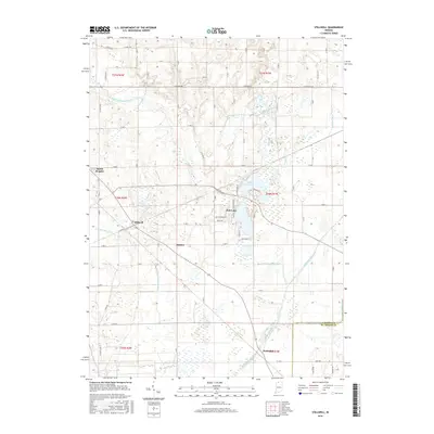
2016 Map of Stillwell
USGS Topo · Published 2016About this map
Stillwell and the surrounding LaPorte County landscape are defined by a complex network of waterways and agricultural drainage. This 2016 survey illustrates how the Kankakee River and its smaller counterpart, the Little Kankakee River, shape the region. The settlement of Fish Lake is centered near the waters of Upper Fish Lake, where a grid of local roads like Lakeside Dr and Southtown Blvd serves the community. The map provides a look at the industrial and agricultural infrastructure of the era, visible in the extensive system of named channels including Breckenridge Ditch, Barringer Ditch, and Miller Ditch. These man-made features intersect with natural landmarks such as Ridge Run and Pine Creek, highlighting the long-standing efforts to manage the wetlands of the Kankakee basin. Smaller clusters at Hamlet and Salem Heights further demonstrate the residential patterns that have persisted alongside these vital water systems.
Find a feature on this map
42 named features on this map. Tap any name to fly to it.
Don’t see what you’re looking for? This feature index may not catch every label — zoom into the map to look around manually.
Map Details
Editions of this 2016 Stillwell Map
This is the sole edition of this map. No revisions or reprints were ever made.
Other maps of this area

1953 · Chicago
USGS Topo · 1:250,000

1957 · Chicago
USGS Topo · 1:250,000

1958 · Lydick
USGS Topo · 1:24,000

1958 · Kingsford Heights
USGS Topo · 1:24,000

1958 · Hamlet
USGS Topo · 1:24,000

1958 · Walkerton
USGS Topo · 1:24,000

1958 · Stillwell
USGS Topo · 1:24,000

1958 · North Liberty
USGS Topo · 1:24,000

1958 · La Porte East
USGS Topo · 1:24,000

1958 · Springville
USGS Topo · 1:24,000