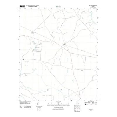
2011 Map of Stilson
USGS Topo · Published 2011About this map
Stilson and Arcola serve as the primary settlement hubs in this rural Bulloch County landscape, where agriculture and hydrology define the community structure. The terrain is deeply influenced by the flow of Upper Black Creek and its various tributaries, including Iric Branch and Cow Branch, which feed into local landmarks like Kendrick Pond and Lester Pond. These water sources were historically vital for local land use, evidenced by the named dams and river crossings that dot the map.
Find a feature on this map
63 named features on this map. Tap any name to fly to it.
Don’t see what you’re looking for? This feature index may not catch every label — zoom into the map to look around manually.
Map Details
Editions of this 2011 Stilson Map
This is the sole edition of this map. No revisions or reprints were ever made.
Other maps of this area

1919 · Egypt
USGS Topo · 1:62,500

1920 · Pembroke
USGS Topo · 1:62,500

1920 · Meldrim
USGS Topo · 1:62,500

1921 · Brooklet
USGS Topo · 1:62,500

1939 · Egypt
USGS Topo · 1:62,500

1942 · Meldrim
USGS Topo · 1:62,500

1943 · Brooklet
USGS Topo · 1:62,500

1943 · Egypt
USGS Topo · 1:62,500

1947 · Savannah
USGS Topo · 1:250,000

1948 · Savannah
USGS Topo · 1:250,000