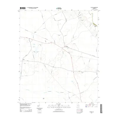
2014 Map of Stilson
USGS Topo · Published 2014About this map
Stilson serves as a central hub in this corner of Bulloch County, where the long-established path of Us-80 intersects with local routes like Stilson Rd and Ga-119-Conn. The landscape is defined by its water drainage and crossing points, featuring the Ogeechee River on the eastern boundary and the intricate networks of Upper Black Cr and Lower Black Cr to the south. Historically significant crossings such as Upper Dugger Ford and Lower Dugger Ford indicate where local travelers navigated these waterways before modern bridges. Genealogical interest is high throughout the quadrangle, with family-named landmarks including McElveen Cem, Friendship Cem, and Immanuel Cem. The presence of Railroad Bed Rd near Arcola points to the area's transition from early timber and rail transport to a modern agricultural and residential landscape.
Find a feature on this map
63 named features on this map. Tap any name to fly to it.
Don’t see what you’re looking for? This feature index may not catch every label — zoom into the map to look around manually.
Map Details
Editions of this 2014 Stilson Map
This is the sole edition of this map. No revisions or reprints were ever made.
Other maps of this area

1919 · Egypt
USGS Topo · 1:62,500

1920 · Pembroke
USGS Topo · 1:62,500

1920 · Meldrim
USGS Topo · 1:62,500

1921 · Brooklet
USGS Topo · 1:62,500

1939 · Egypt
USGS Topo · 1:62,500

1942 · Meldrim
USGS Topo · 1:62,500

1943 · Brooklet
USGS Topo · 1:62,500

1943 · Egypt
USGS Topo · 1:62,500

1947 · Savannah
USGS Topo · 1:250,000

1948 · Savannah
USGS Topo · 1:250,000