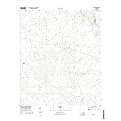
2017 Map of Stilson
USGS Topo · Published 2017About this map
The Ogeechee River forms the northeastern boundary of this Bulloch County landscape, where the terrain is defined by a dense network of blackwater creeks and wetland depressions. Small settlements like Stilson, Arcola, and Akins are situated along the higher ground between the river basin and the extensive bottomlands of Upper Black Cr and Lower Black Cr. The map reveals a land structured by rural road networks and legacy landforms, such as Cooks Island and the stagnant waters of Lester Pond and Kendrick Pond.
Find a feature on this map
73 named features on this map. Tap any name to fly to it.
Don’t see what you’re looking for? This feature index may not catch every label — zoom into the map to look around manually.
Map Details
Editions of this 2017 Stilson Map
This is the sole edition of this map. No revisions or reprints were ever made.
Other maps of this area

1919 · Egypt
USGS Topo · 1:62,500

1920 · Pembroke
USGS Topo · 1:62,500

1920 · Meldrim
USGS Topo · 1:62,500

1921 · Brooklet
USGS Topo · 1:62,500

1939 · Egypt
USGS Topo · 1:62,500

1942 · Meldrim
USGS Topo · 1:62,500

1943 · Brooklet
USGS Topo · 1:62,500

1943 · Egypt
USGS Topo · 1:62,500

1947 · Savannah
USGS Topo · 1:250,000

1948 · Savannah
USGS Topo · 1:250,000