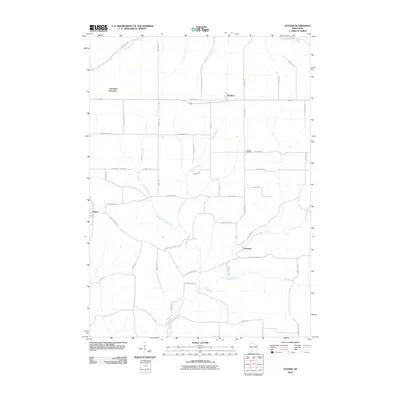
2010 Map of Stitzer
USGS Topo · Published 2010About this map
Stitzer and the neighboring hamlets of Annaton and Preston anchor this agricultural landscape in Grant County, where the topography is defined by the drainage basins of the Platte River and its tributaries. The map shows a well-established grid of rural corridors, including the storied Military Rd which runs east-to-west through the northern portion of the quadrangle. Genealogists and local historians can locate several family-named landmarks and historical institutions, such as Ebenezer Cemetery and the site of Lancaster Junction. The waterway network is particularly dense here, featuring the Fennimore Fork and winding runs like Leggett Creek, Newell Creek, and Crow Branch, illustrating the natural irrigation patterns that have supported generations of Wisconsin farming families.
Find a feature on this map
45 named features on this map. Tap any name to fly to it.
Don’t see what you’re looking for? This feature index may not catch every label — zoom into the map to look around manually.
Map Details
Editions of this 2010 Stitzer Map
This is the sole edition of this map. No revisions or reprints were ever made.
Other maps of this area

1900 · Lancaster
USGS Topo · 1:125,000

1902 · Mineral Point
USGS Topo · 1:125,000

1904 · Lancaster
USGS Topo · 1:125,000

1905 · Richland Center
USGS Topo · 1:125,000

1908 · Lancaster
USGS Topo · 1:125,000

1933 · Boscobel
USGS Topo · 1:62,500

1952 · Rewey
USGS Topo · 1:24,000

1952 · Montfort
USGS Topo · 1:24,000

1958 · La Crosse
USGS Topo · 1:250,000

1959 · Dubuque
USGS Topo · 1:250,000