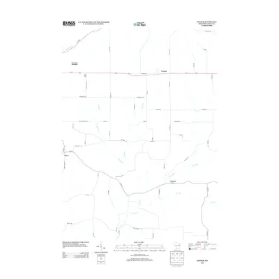
2013 Map of Stitzer
USGS Topo · Published 2013About this map
The Platte River and its various tributaries, including Leggett Cr and Newell Cr, define the drainage patterns of this Grant County landscape. The road network is heavily influenced by the historic corridor of Us-18, which runs parallel to the legendary Military Rd through the northern half of the region. Small settlements and points of interest such as Stitzer, Preston, and Annaton serve as local hubs, while Lancaster Junction indicates the importance of transportation connectivity in this rural area.
Find a feature on this map
50 named features on this map. Tap any name to fly to it.
Don’t see what you’re looking for? This feature index may not catch every label — zoom into the map to look around manually.
Map Details
Editions of this 2013 Stitzer Map
This is the sole edition of this map. No revisions or reprints were ever made.
Other maps of this area

1900 · Lancaster
USGS Topo · 1:125,000

1902 · Mineral Point
USGS Topo · 1:125,000

1904 · Lancaster
USGS Topo · 1:125,000

1905 · Richland Center
USGS Topo · 1:125,000

1908 · Lancaster
USGS Topo · 1:125,000

1933 · Boscobel
USGS Topo · 1:62,500

1952 · Rewey
USGS Topo · 1:24,000

1952 · Montfort
USGS Topo · 1:24,000

1958 · La Crosse
USGS Topo · 1:250,000

1959 · Dubuque
USGS Topo · 1:250,000