2022 Map of Stitzer
USGS Topo · Published 2022About this map
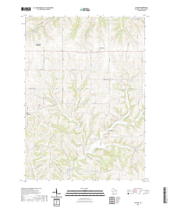
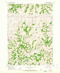
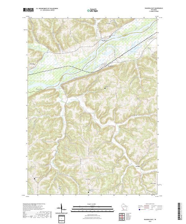
The Platte River and its numerous tributaries, including Leggett Cr and Newell Cr, carve through the rolling agricultural landscape of Grant County. Small rural settlements like Stitzer, Preston, and Annaton are connected by a network of local roads such as Military Rd and Townline Rd, reflecting the region's enduring rural character. Genealogists will find interest in the documented locations of the Stitzer Methodist Cem and Ebenezer Cem, which stand alongside historical points like Lancaster Junction. The terrain is defined by deep cuts like Shaw Hollow and Cass Hollow, which channel water toward the Fennimore Fork in the northern portion of the quadrangle. This layout reveals a persistent land-use pattern where farmsteads and cemeteries are situated along the higher ridges, while the drainage basins of the Crow Br shape the movement of people and livestock.
Find a feature on this map
60 named features on this map. Tap any name to fly to it.
Don’t see what you’re looking for? This feature index may not catch every label — zoom into the map to look around manually.
Map Details
Editions of this 2022 Stitzer Map
This is the sole edition of this map. No revisions or reprints were ever made.
Historical Maps of Wingville Through Time
17 maps found
1962 Beetown
Grant County, WI
1962 Ellenboro
Grant County, WI
1962 Hurricane
Grant County, WI
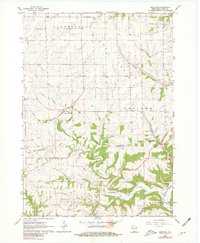
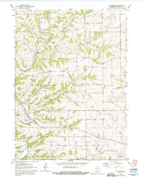
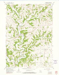
1962 Stitzer
Grant County, WI
1983 Castle Rock
Grant County, WI
1983 Highland West
Grant County, WI
1983 Long Hollow
Grant County, WI
1983 Wauzeka East
Grant County, WI
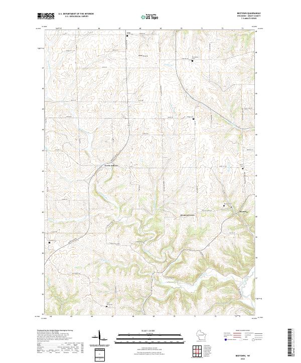
2022 Beetown
Grant County, WI
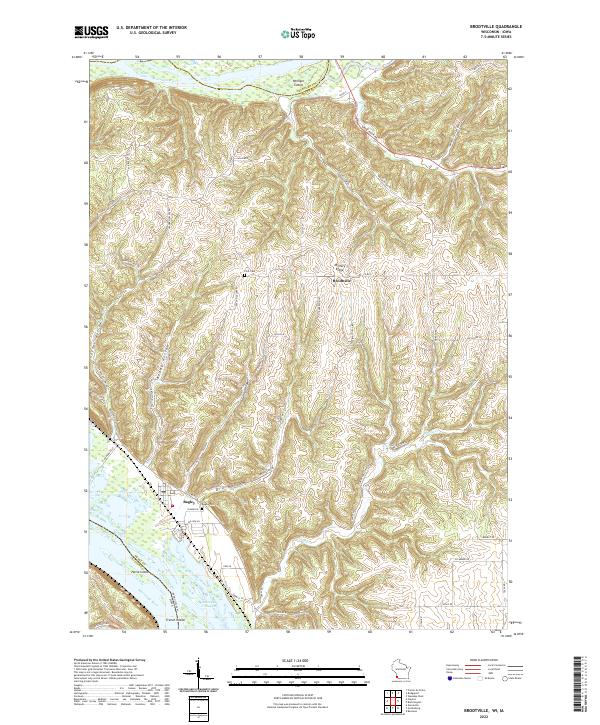
2022 Brodtville
Grant County, WI
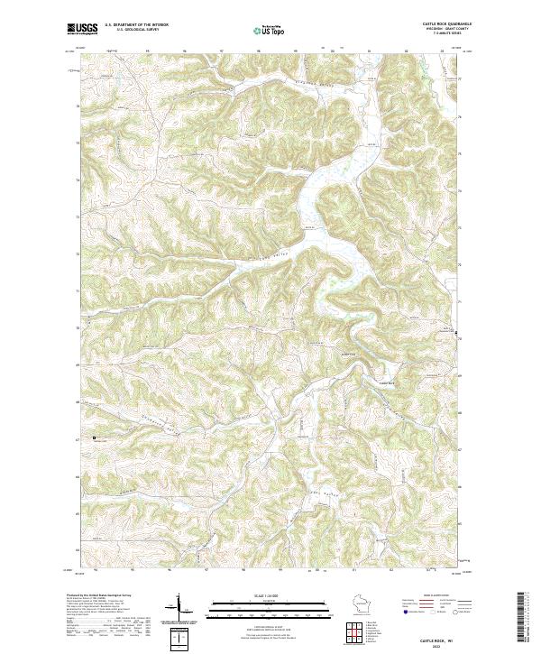
2022 Castle Rock
Grant County, WI
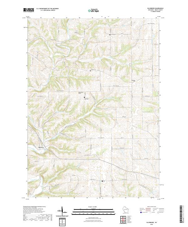
2022 Ellenboro
Grant County, WI
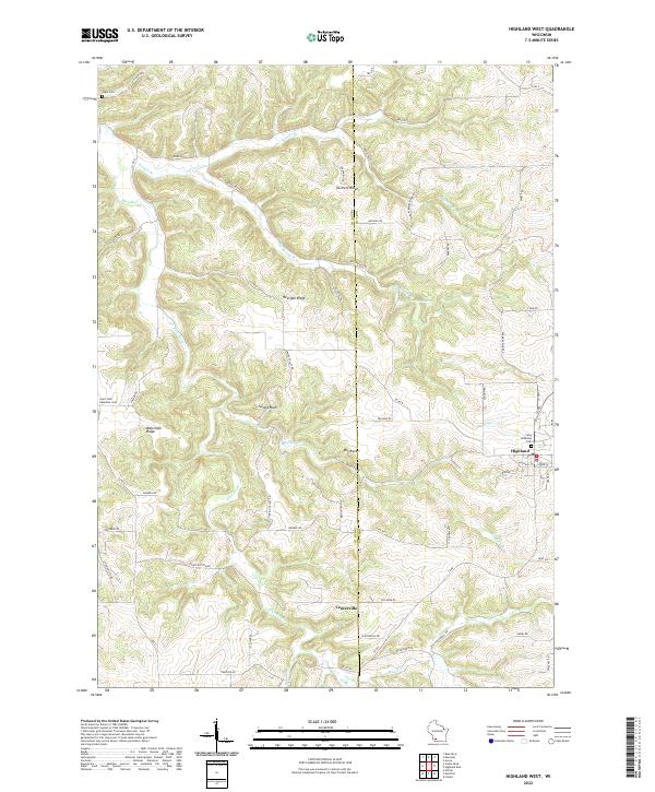
2022 Highland West
Grant County, WI
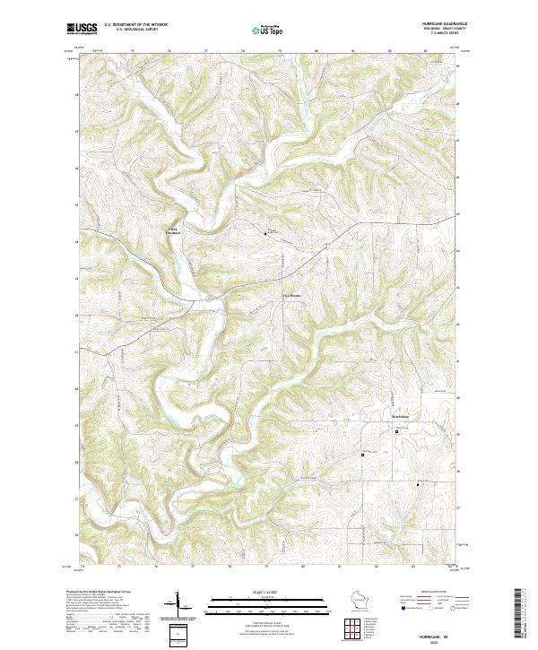
2022 Hurricane
Grant County, WI
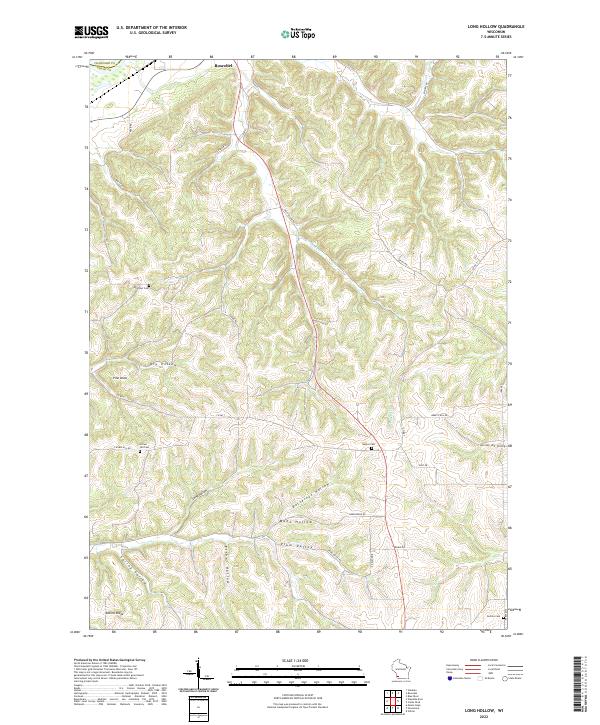
2022 Long Hollow
Grant County, WI
2022 Stitzer
Grant County, WI
2022 Wauzeka East
Grant County, WI