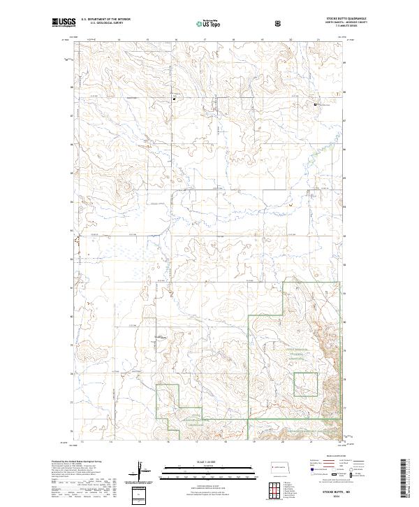
2024 Map of Stocke Butte
USGS Topo · Published 2024About this map
Little Missouri National Grassland and the northern reaches of Theodore Roosevelt National Park anchor this landscape in McKenzie County. The terrain is defined by the elevation of Stocke Butte and the drainage patterns of Cherry Creek and Red Wing Creek. The survey reveals a sparse network of section-line roads, including 134th Ave NW and 22nd St NW, which serve remote farmsteads and points of interest.
Find a feature on this map
33 named features on this map. Tap any name to fly to it.
Don’t see what you’re looking for? This feature index may not catch every label — zoom into the map to look around manually.
Map Details
Editions of this 2024 Stocke Butte Map
This is the sole edition of this map. No revisions or reprints were ever made.
Other maps of this area

1953 · Watford City
USGS Topo · 1:250,000

1957 · Watford City
USGS Topo · 1:250,000

1958 · Long X Divide
USGS Topo · 1:24,000

1958 · Sperati Point
USGS Topo · 1:24,000

1958 · Stocke Butte
USGS Topo · 1:24,000

1958 · Tepee Buttes
USGS Topo · 1:24,000

1967 · Watford City
USGS Topo · 1:250,000

1972 · Bear Butte
USGS Topo · 1:24,000

1972 · Rawson
USGS Topo · 1:24,000

1978 · Arnegard
USGS Topo · 1:24,000