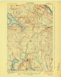
1931 Map of Stockholm
USGS Topo · Published 1931About this map
The Bangor and Aroostook Railroad carves through the timbered landscapes of northern Maine, anchoring the frontier economy of the 1930s. The settlement of Stockholm serves as a central hub, situated near the base of Stockholm Mtn where a Fire Tower watches over the surrounding forest. The influence of Swedish immigrants is evident in the southern reaches of the map, where the communities of Jemtland and its associated Jemtland Sta stand alongside landmarks like the Berquist Sch and Lebanon Sch.
Find a feature on this map
63 named features on this map. Tap any name to fly to it.
Don’t see what you’re looking for? This feature index may not catch every label — zoom into the map to look around manually.
Map Details
Editions of this 1931 Stockholm Map
4 editions found
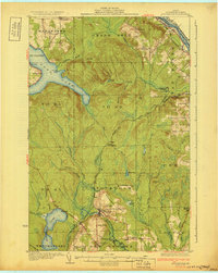
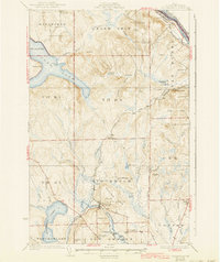
Other maps of this area

1921 · Van Buren
USGS Topo · 1:250,000

1927 · Stockholm
USGS Topo · 1:48,000

1927 · Square Lake
USGS Topo · 1:48,000

1929 · Portage
USGS Topo · 1:62,500

1929 · Caribou
USGS Topo · 1:48,000

1930 · Fort Fairfield
USGS Topo · 1:48,000

1931 · Square Lake
USGS Topo · 1:62,500

1931 · Van Buren
USGS Topo · 1:48,000

1931 · Portage
USGS Topo · 1:62,500

1931 · Stockholm
USGS Topo · 1:62,500