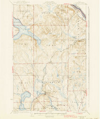
1931 Map of Stockholm
USGS Topo · Published 1943About this map
Stockholm serves as a central hub in this northern Maine landscape, where the Bangor and Aroostook railroad follows the winding path of the Little Madawaska River. The map reveals a deeply etched rural community during the late 1920s, characterized by numerous local schools named for early families, such as Parent Sch, Sirois Sch, and Berquist Sch. These small educational outposts, scattered across townships like New Sweden and Grand Isle, underscore the era's decentralized settlement pattern before mid-century consolidation.
Find a feature on this map
62 named features on this map. Tap any name to fly to it.
Don’t see what you’re looking for? This feature index may not catch every label — zoom into the map to look around manually.
Map Details
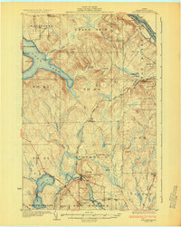
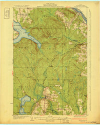
Editions of this 1931 Stockholm Map
4 editions found
Other maps of this area

1921 · Van Buren
USGS Topo · 1:250,000

1927 · Stockholm
USGS Topo · 1:48,000

1927 · Square Lake
USGS Topo · 1:48,000

1929 · Portage
USGS Topo · 1:62,500

1929 · Caribou
USGS Topo · 1:48,000

1930 · Fort Fairfield
USGS Topo · 1:48,000

1931 · Square Lake
USGS Topo · 1:62,500

1931 · Van Buren
USGS Topo · 1:48,000

1931 · Portage
USGS Topo · 1:62,500

1931 · Stockholm
USGS Topo · 1:62,500