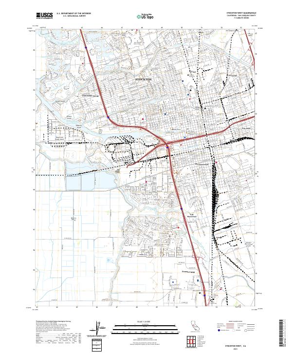
2021 Map of Stockton West
USGS Topo · Published 2021About this map
The San Joaquin River and the Stockton Deep Water Channel dominate this maritime and agricultural landscape on the western edge of Stockton. The intricate waterways include Burns Cutoff and Walker Slough, which weave around low-lying lands like Roberts Island and Rough and Ready Island. This area serves as a critical infrastructure hub, evidenced by the Mokelumne Aqueduct and the Stockton Diverting Canal, illustrating the region's complex water management systems designed to support both deep-water shipping and central valley farming.
Find a feature on this map
56 named features on this map. Tap any name to fly to it.
Don’t see what you’re looking for? This feature index may not catch every label — zoom into the map to look around manually.
Map Details
Editions of this 2021 Stockton West Map
This is the sole edition of this map. No revisions or reprints were ever made.
Other maps of this area

1894 · Lodi
USGS Topo · 1:125,000
1908 · Waterloo
USGS Topo · 1:31,680
1910 · Castle
USGS Topo · 1:31,680
1910 · Headreach
USGS Topo · 1:31,680
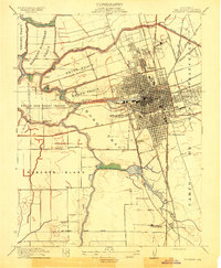
1913 · Stockton
USGS Topo · 1:31,680
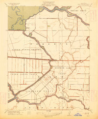
1913 · Holt
USGS Topo · 1:31,680
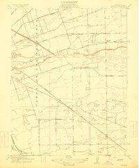
1914 · Burnham
USGS Topo · 1:31,680
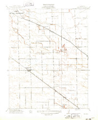
1914 · Manteca
USGS Topo · 1:31,680
1914 · Union Island
USGS Topo · 1:31,680
1915 · Lathrop
USGS Topo · 1:31,680