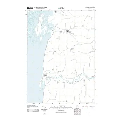
2010 Map of Stoddard
USGS Topo · Published 2010About this map
Stoddard sits at the base of the prominent Stoddard Ridge, where the winding Coon Creek meets the wide expanse of the Mississippi River backwaters. This geography is defined by a series of dramatic coulees and ridges typical of the driftless region, including Chipmunk Coulee and Proksch Coulee. These steep-walled valleys shaped the rural development of the area, concentrating settlements like Pleasant Valley and Maple Grove along the upper ridges and valley floors.
Find a feature on this map
58 named features on this map. Tap any name to fly to it.
Don’t see what you’re looking for? This feature index may not catch every label — zoom into the map to look around manually.
Map Details
Editions of this 2010 Stoddard Map
This is the sole edition of this map. No revisions or reprints were ever made.
Other maps of this area

1926 · Stoddard
USGS Topo · 1:62,500

1927 · La Crosse
USGS Topo · 1:62,500

1930 · La Crescent
USGS Topo · 1:62,500

1930 · La Crosse
USGS Topo · 1:62,500

1956 · Brownsville
USGS Topo · 1:62,500

1956 · La Crescent
USGS Topo · 1:62,500

1958 · La Crosse
USGS Topo · 1:250,000

1961 · La Crosse
USGS Topo · 1:250,000
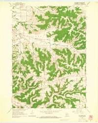
1963 · St. Joseph
USGS Topo · 1:24,000
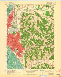
1963 · La Crosse
USGS Topo · 1:24,000