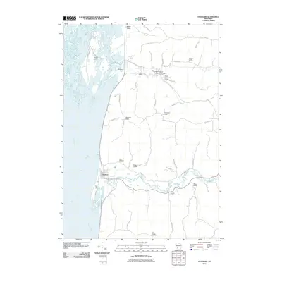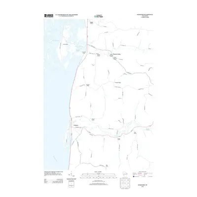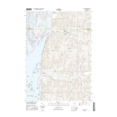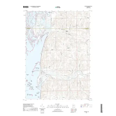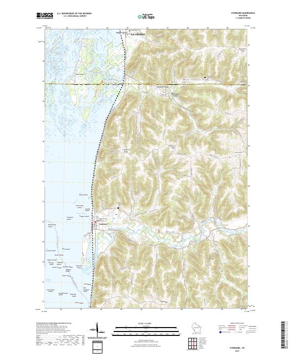
2022 Map of Stoddard
USGS Topo · Published 2022About this map
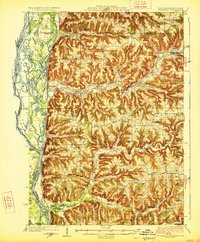
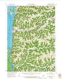
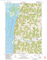
Stoddard sits at the base of the bluffs where the rugged coulees of Vernon Co meet the intricate labyrinth of the Mississippi River. This landscape is defined by the contrast between high, narrow divides like Stoddard Ridge and Brinkman Ridge, and the fertile, deeply-incised valleys of North Chipmunk Coulee and Proksch Coulee. The riverfront is a complex network of backwaters and named islands, including Goose Island, Pasque Island, and Log Island, indicating a dynamic floodplain ecosystem that has long dictated the layout of local infrastructure.
Find a feature on this map
107 named features on this map. Tap any name to fly to it.
Don’t see what you’re looking for? This feature index may not catch every label — zoom into the map to look around manually.
Map Details
Editions of this 2022 Stoddard Map
This is the sole edition of this map. No revisions or reprints were ever made.
Historical Maps of La Crosse Through Time
8 maps found