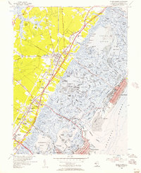
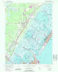
1955 Map of Stone Harbor
USGS Topo · Published 1957About this map
Cape May Court House serves as the inland hub of this coastal survey, where the Pennsylvania Reading Seashore Lines intersect with a burgeoning road network. This mid-century view documents the intricate waterway system of the Jersey Shore before modern dredging significantly altered these wetlands. The transition from the settled mainland at Mayville and Whitesboro to the barrier island community of Stone Harbor is bridged by the Stone Harbor Boulevard, crossing a labyrinth of salt marshes and tidal thoroughfares like Great Sound and Jenkins Sound. The presence of the Cresthaven County Home, a local Hospital, and several cemeteries such as Fairview Memorial Cem provides significant points of interest for genealogists tracking local institutional and family history. Along the Atlantic, the grid of Stone Harbor is fully established on Seven Mile Beach, contrasting with the undeveloped marsh islands like Ring Island and Gull Island that dominate the interior lagoon.
Find a feature on this map
162 named features on this map. Tap any name to fly to it.
Don’t see what you’re looking for? This feature index may not catch every label — zoom into the map to look around manually.
Map Details
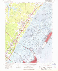
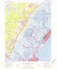
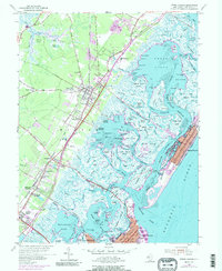
Editions of this 1955 Stone Harbor Map
5 editions found
Other maps of this area

1884 · Sea Isle
USGS Topo · 1:62,500

1888 · Cape May
USGS Topo · 1:62,500

1888 · Dennisville
USGS Topo · 1:62,500

1888 · Sea Isle
USGS Topo · 1:62,500

1893 · Cape May
USGS Topo · 1:62,500

1894 · Dennisville
USGS Topo · 1:62,500

1894 · Sea Isle
USGS Topo · 1:62,500

1898 · Cape May
USGS Topo · 1:62,500

1918 · Cape May
USGS Topo · 1:62,500

1919 · Sea Isle
USGS Topo · 1:62,500