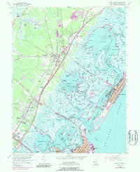
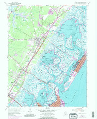
1955 Map of Stone Harbor
USGS Topo · Published 1990About this map
Cape May Court House serves as the inland anchor for this coastal survey, which documents the mid-century infrastructure of the Jersey Shore. The Pennsylvania Reading Seashore Lines provides a backbone of rail transit through settlements like Mayville, Burleigh, and Whitesboro, while the newly introduced Garden State Parkway signals the shift toward modern automotive travel. The map captures a complex maritime landscape of thoroughfares and sounds, where landings such as Bennys Landing and Shellbed Landing dot the inner marshes behind the developed barrier islands of Stone Harbor and North Wildwood.
Find a feature on this map
193 named features on this map. Tap any name to fly to it.
Don’t see what you’re looking for? This feature index may not catch every label — zoom into the map to look around manually.
Map Details
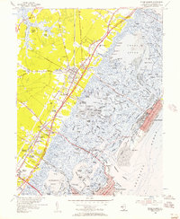
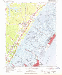
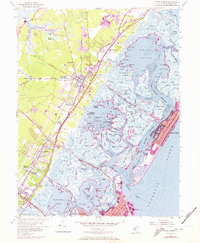
Editions of this 1955 Stone Harbor Map
5 editions found
Other maps of this area

1884 · Sea Isle
USGS Topo · 1:62,500

1888 · Cape May
USGS Topo · 1:62,500

1888 · Dennisville
USGS Topo · 1:62,500

1888 · Sea Isle
USGS Topo · 1:62,500

1893 · Cape May
USGS Topo · 1:62,500

1894 · Dennisville
USGS Topo · 1:62,500

1894 · Sea Isle
USGS Topo · 1:62,500

1898 · Cape May
USGS Topo · 1:62,500

1918 · Cape May
USGS Topo · 1:62,500

1919 · Sea Isle
USGS Topo · 1:62,500