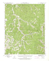
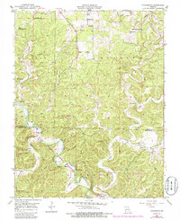
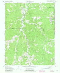
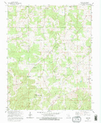
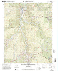
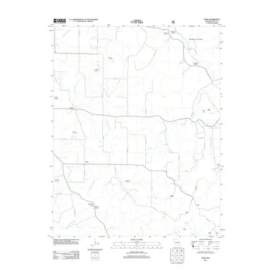
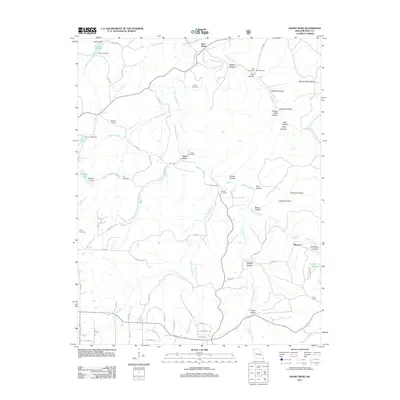
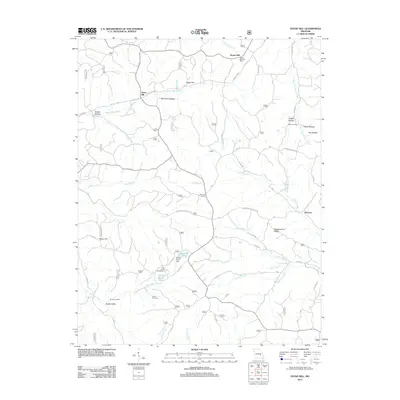
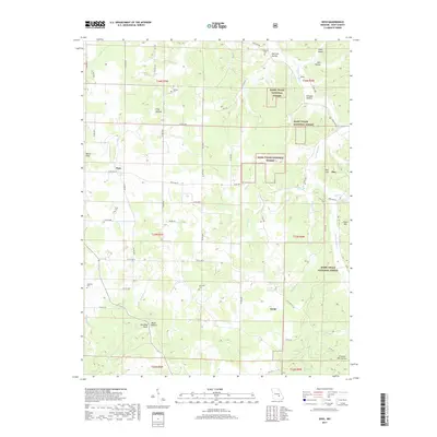
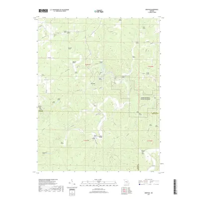
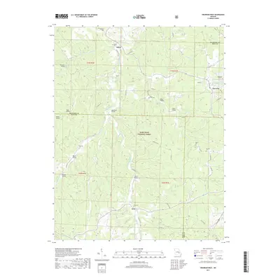
1941 Map of Stone Hill
USGS Topo · Published 1966About this map
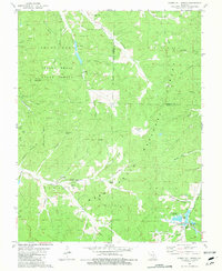
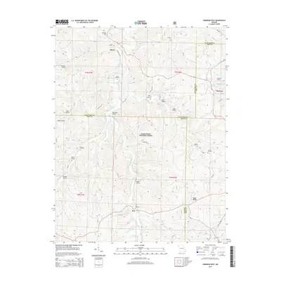
The Meramec River headwaters and a network of spring-fed branches define this landscape in the early 1940s. The area is characterized by scattered rural communities and an extensive system of local schools, including New Home Sch, Victory Sch, and Osage Sch, which served the families living along the hollows and ridges. Significant infrastructure of the era is visible at the Indian Trail Fish Hatchery and within the Indian Trail State Park, where several fire lookouts like Indian Trail Lookout and Crooked Lookout monitored the timberlands.
Find a feature on this map
90 named features on this map. Tap any name to fly to it.
Don’t see what you’re looking for? This feature index may not catch every label — zoom into the map to look around manually.
Map Details
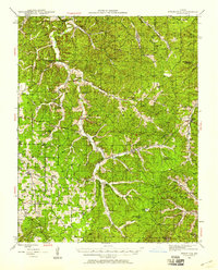
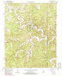
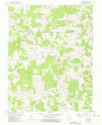
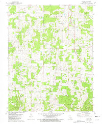
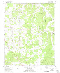
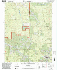
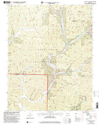
Editions of this 1941 Stone Hill Map
3 editions found
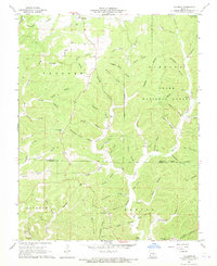
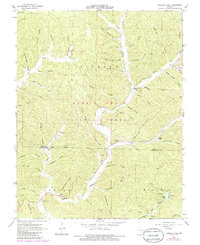
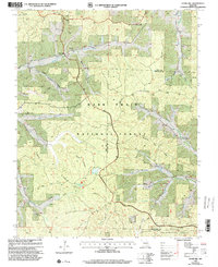
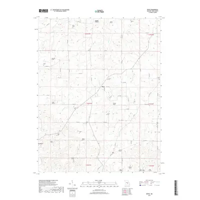
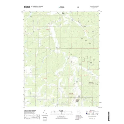
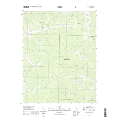
Historical Maps of Max Through Time
68 maps found
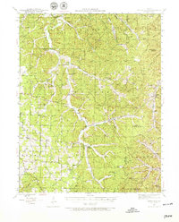
1941 Stone Hill
Dent County, MO
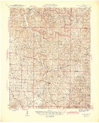
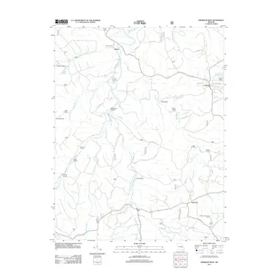
1945 Stone Hill
Dent County, MO
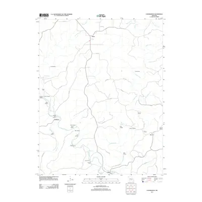
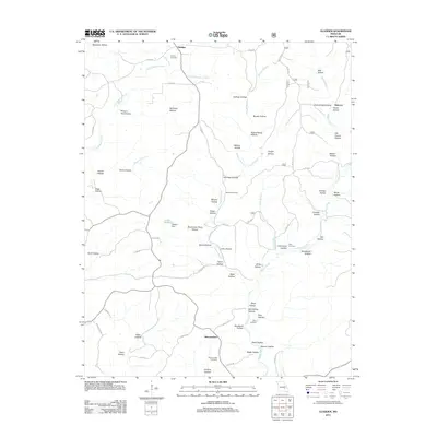
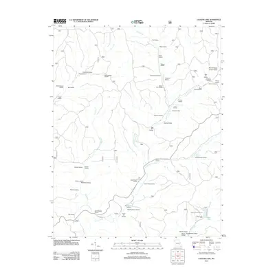
1951 Cedargrove
Dent County, MO
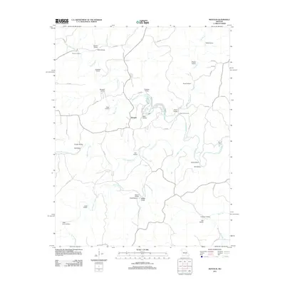
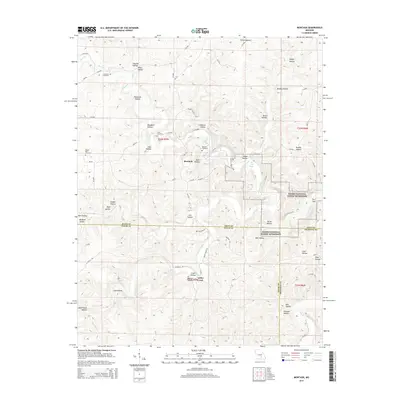
1951 Montauk
Dent County, MO
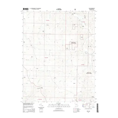
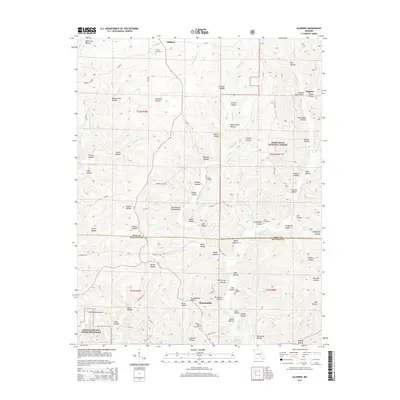
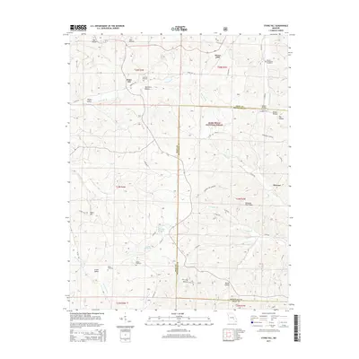
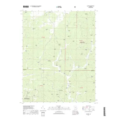
1967 Gladden
Dent County, MO
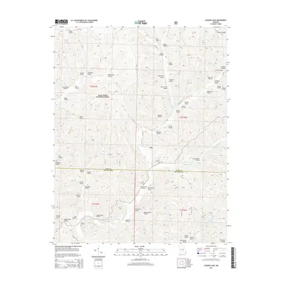
1967 Loggers Lake
Dent County, MO
1967 Viburnum West
Dent County, MO
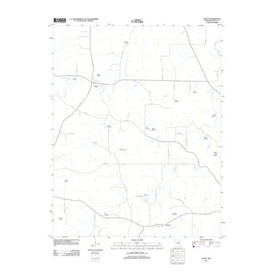
1981 Anutt
Dent County, MO
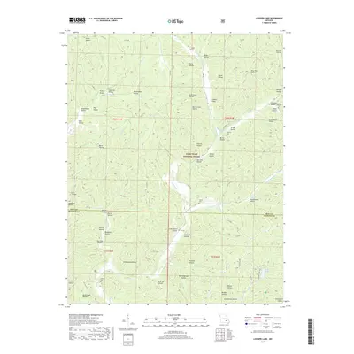
1981 Darien
Dent County, MO
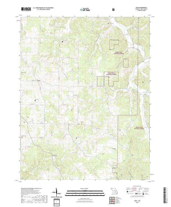
1981 Doss
Dent County, MO
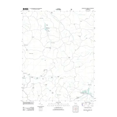
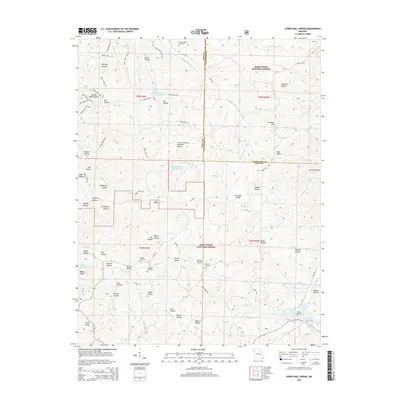
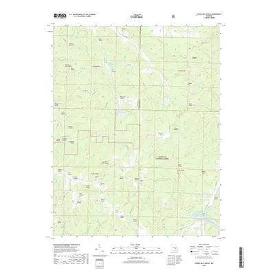
1981 Howes Mill Spring
Dent County, MO
1981 Rhyse
Dent County, MO
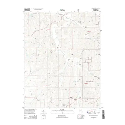
1981 Short Bend
Dent County, MO
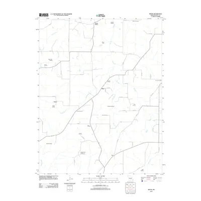
1981 Stone Hill
Dent County, MO

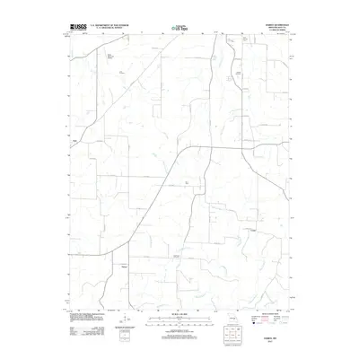
1992 Anutt
Dent County, MO
1992 Rhyse
Dent County, MO
1999 Howes Mill Spring
Dent County, MO
1999 Loggers Lake
Dent County, MO
1999 Stone Hill
Dent County, MO
1999 Viburnum West
Dent County, MO
2011 Anutt
Dent County, MO
2011 Cedargrove
Dent County, MO
2011 Darien
Dent County, MO
2011 Doss
Dent County, MO
2011 Gladden
Dent County, MO
2011 Montauk
Dent County, MO
2011 Rhyse
Dent County, MO
2011 Short Bend
Dent County, MO
2011 Viburnum West
Dent County, MO
2012 Howes Mill Spring
Dent County, MO
2012 Loggers Lake
Dent County, MO
2012 Stone Hill
Dent County, MO
2015 Anutt
Dent County, MO
2015 Cedargrove
Dent County, MO
2015 Darien
Dent County, MO
2015 Doss
Dent County, MO
2015 Gladden
Dent County, MO
2015 Howes Mill Spring
Dent County, MO
2015 Loggers Lake
Dent County, MO
2015 Montauk
Dent County, MO
2015 Rhyse
Dent County, MO
2015 Short Bend
Dent County, MO
2015 Stone Hill
Dent County, MO
2015 Viburnum West
Dent County, MO
2017 Anutt
Dent County, MO
2017 Cedargrove
Dent County, MO
2017 Darien
Dent County, MO
2017 Doss
Dent County, MO
2017 Gladden
Dent County, MO
2017 Howes Mill Spring
Dent County, MO
2017 Loggers Lake
Dent County, MO
2017 Montauk
Dent County, MO
2017 Rhyse
Dent County, MO
2017 Short Bend
Dent County, MO
2017 Stone Hill
Dent County, MO
2017 Viburnum West
Dent County, MO
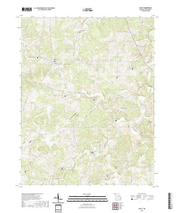
2021 Anutt
Dent County, MO
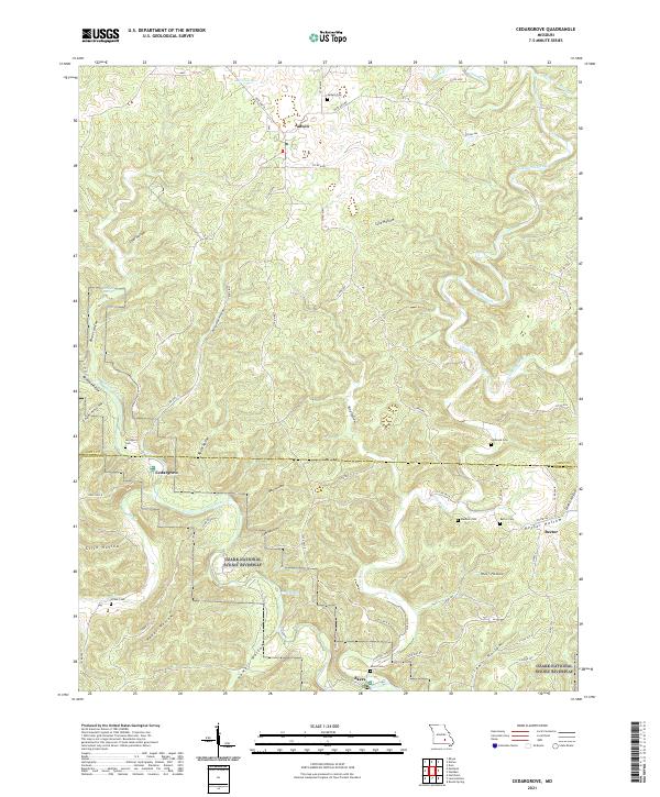
2021 Cedargrove
Dent County, MO
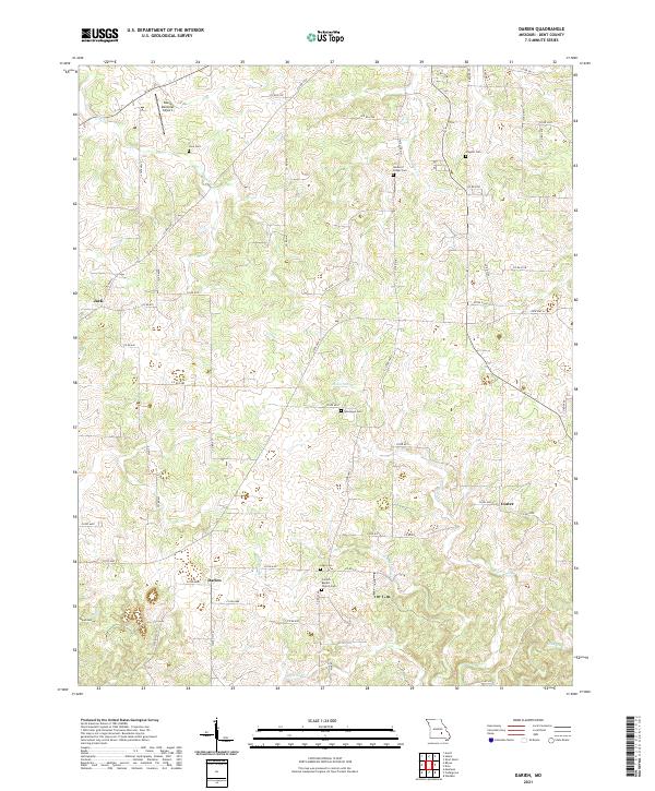
2021 Darien
Dent County, MO
2021 Doss
Dent County, MO
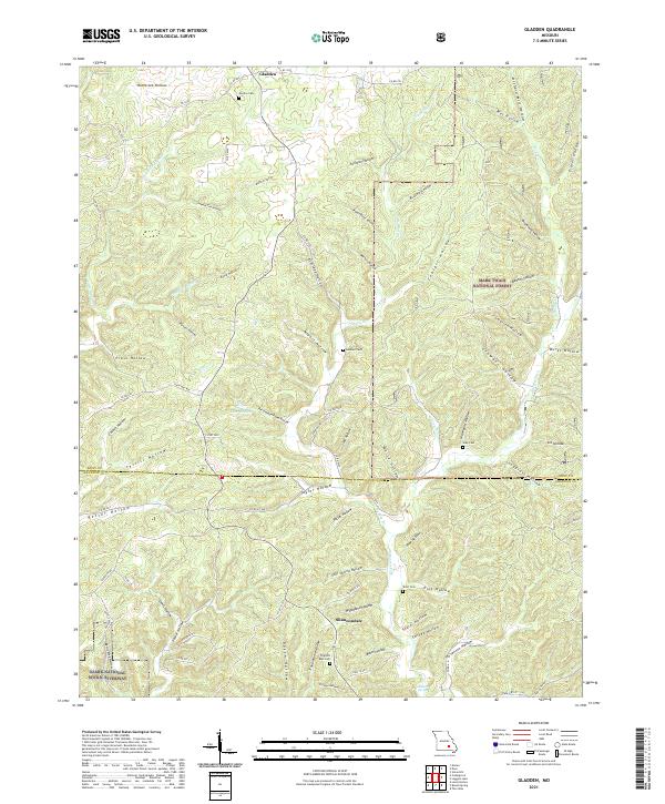
2021 Gladden
Dent County, MO
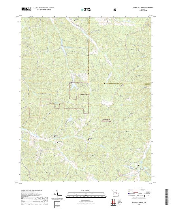
2021 Howes Mill Spring
Dent County, MO
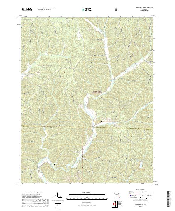
2021 Loggers Lake
Dent County, MO
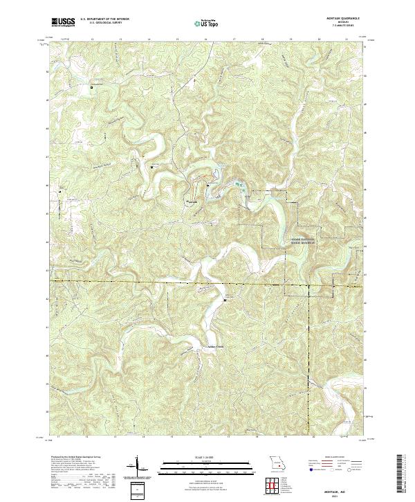
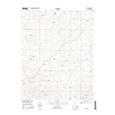
2021 Montauk
Dent County, MO
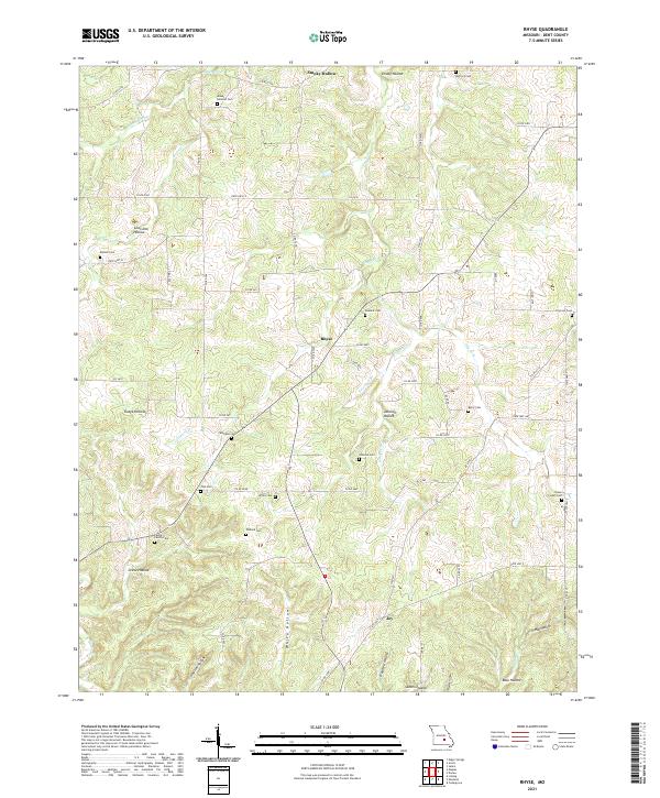
2021 Rhyse
Dent County, MO
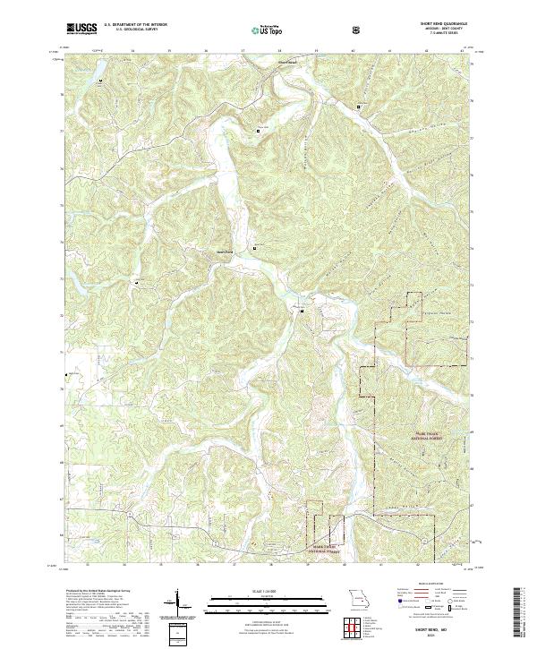
2021 Short Bend
Dent County, MO
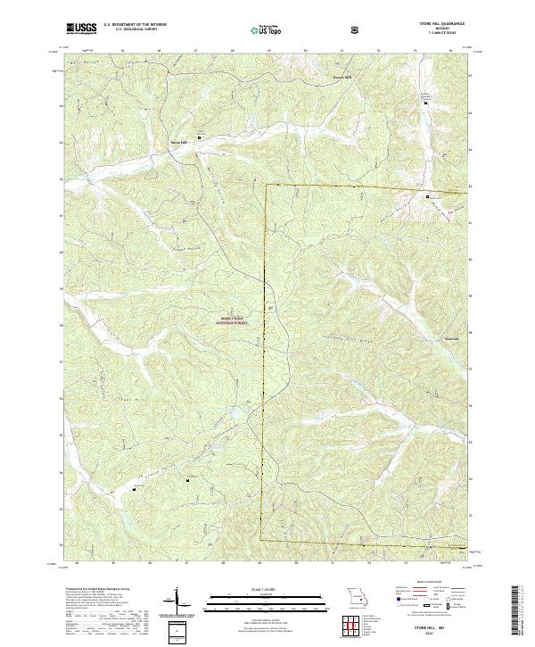
2021 Stone Hill
Dent County, MO
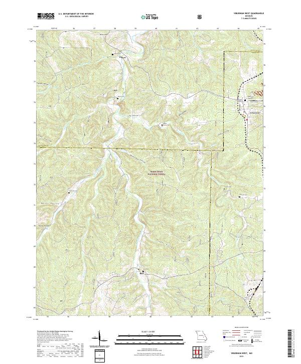
2021 Viburnum West
Dent County, MO