
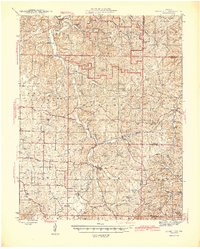
1945 Map of Stone Hill
USGS Topo · Published 1945About this map
Indian Trail State Park dominates the northern reaches of this mid-century Ozark landscape, featuring the Indian Trail Fish Hatchery and several high-altitude vantage points like Crooked Lookout. The terrain is defined by the headwaters of the Meramec River and Sinking Creek, where numerous springs and karst features like Welch Sinks and Peterhoff Spr emerge from the limestone.
Find a feature on this map
95 named features on this map. Tap any name to fly to it.
Don’t see what you’re looking for? This feature index may not catch every label — zoom into the map to look around manually.
Map Details
Editions of this 1945 Stone Hill Map
2 editions found
Other maps of this area

1928 · Meramec Spring
USGS Topo · 1:62,500

1932 · Steelville
USGS Topo · 1:48,000

1932 · Cedar Grove
USGS Topo · 1:48,000

1933 · Steelville
USGS Topo · 1:62,500

1937 · Steelville
USGS Topo · 1:62,500

1941 · Salem
USGS Topo · 1:62,500

1941 · Stone Hill
USGS Topo · 1:62,500

1943 · Berryman
USGS Topo · 1:62,500

1943 · Boss
USGS Topo · 1:62,500

1944 · Corridon
USGS Topo · 1:62,500