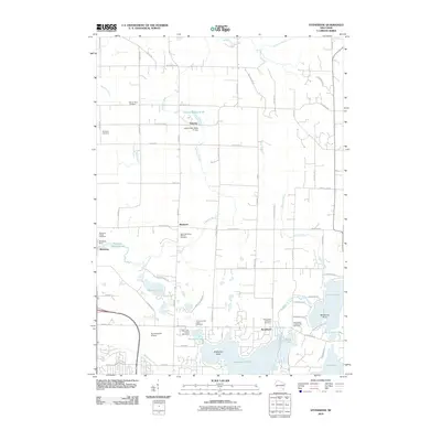
2010 Map of Stonebank
USGS Topo · Published 2010About this map
Stonebank and the surrounding rural communities of Mapleton, Alderley, and Monterey define the landscape of this 2010 survey, where the glacial geography of Waukesha County is clearly visible through a dense network of lakes and waterways. The Ashippun River and Oconomowoc River wind through the terrain, historically powering industry as evidenced by the Alderly Mill 1866c-71 Dam and the Monterey Dam. This map is particularly valuable for genealogical research, documenting numerous denominational burial grounds including Saint Catherines Catholic Cemetery and Saint Johns Lutheran Cemetery. The southern portion of the quadrangle shows the residential development around Okauchee Lake and North Lake, contrasted with the specialized aviation infrastructure at Oconomowoc Airport. Larger landforms like McDowell Island and Wildwood Point mark the transition from river valleys to the deep basin lakes of the region.
Find a feature on this map
75 named features on this map. Tap any name to fly to it.
Don’t see what you’re looking for? This feature index may not catch every label — zoom into the map to look around manually.
Map Details
Editions of this 2010 Stonebank Map
This is the sole edition of this map. No revisions or reprints were ever made.
Other maps of this area

1892 · Watertown
USGS Topo · 1:62,500

1892 · Oconomowoc
USGS Topo · 1:62,500

1894 · Watertown
USGS Topo · 1:62,500

1904 · Hartford
USGS Topo · 1:62,500

1909 · Oconomowoc
USGS Topo · 1:62,500

1955 · Horicon
USGS Topo · 1:62,500

1957 · Madison
USGS Topo · 1:250,000
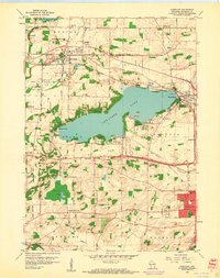
1959 · Hartland
USGS Topo · 1:24,000

1959 · Ixonia
USGS Topo · 1:24,000
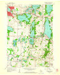
1959 · Oconomowoc East
USGS Topo · 1:24,000