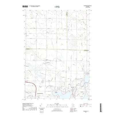
2018 Map of Stonebank
USGS Topo · Published 2018About this map
Glacial geology defines the landscape around Oconomowoc, where a dense network of lakes and rivers shaped the settlement of Waukesha County. The Ashippun River feeds into both the Alderley Millpond and Monterey Millpond, illustrating the legacy of early water-powered industry in the region. This 2018 survey reveals a transition from the structured street grid of northern Oconomowoc to the unincorporated communities of Stonebank, Mapleton, and Monterey.
Find a feature on this map
115 named features on this map. Tap any name to fly to it.
Don’t see what you’re looking for? This feature index may not catch every label — zoom into the map to look around manually.
Map Details
Editions of this 2018 Stonebank Map
This is the sole edition of this map. No revisions or reprints were ever made.
Other maps of this area

1892 · Watertown
USGS Topo · 1:62,500

1892 · Oconomowoc
USGS Topo · 1:62,500

1894 · Watertown
USGS Topo · 1:62,500

1904 · Hartford
USGS Topo · 1:62,500

1909 · Oconomowoc
USGS Topo · 1:62,500

1955 · Horicon
USGS Topo · 1:62,500

1957 · Madison
USGS Topo · 1:250,000
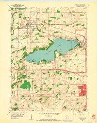
1959 · Hartland
USGS Topo · 1:24,000

1959 · Ixonia
USGS Topo · 1:24,000
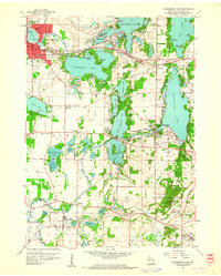
1959 · Oconomowoc East
USGS Topo · 1:24,000