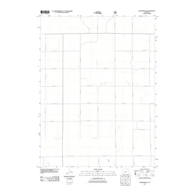
2011 Map of Stoneham SE
USGS Topo · Published 2011About this map
Sand Creek and the intermittent drainage of L F Draw define the modest hydrology of this eastern Colorado landscape in the early twenty-first century. The terrain is organized by a precise grid of rural infrastructure, predominantly composed of numbered county roads that facilitate access across this high plains region. Primary corridors such as County Rd-153 and County Rd-84 intersect with smaller routes like County Rd-14 5/10, illustrating the systematic division of land for agricultural or ranching utility. This mapping, produced by the U.S. Geological Survey, provides a clear view of the sparse but critical network of water and transit that supports the area's local economy and property boundaries.
Find a feature on this map
25 named features on this map. Tap any name to fly to it.
Don’t see what you’re looking for? This feature index may not catch every label — zoom into the map to look around manually.
Map Details
Editions of this 2011 Stoneham SE Map
This is the sole edition of this map. No revisions or reprints were ever made.
Other maps of this area

1951 · Dead Horse Springs
USGS Topo · 1:24,000

1951 · Willard
USGS Topo · 1:24,000

1951 · Messex
USGS Topo · 1:24,000

1951 · Antelope Springs
USGS Topo · 1:24,000

1951 · Wild Horse Lake
USGS Topo · 1:24,000

1954 · Sterling
USGS Topo · 1:250,000

1958 · Sterling
USGS Topo · 1:250,000

1971 · Messex
USGS Topo · 1:24,000

1977 · Stoneham
USGS Topo · 1:24,000

1977 · Stoneham NE
USGS Topo · 1:24,000