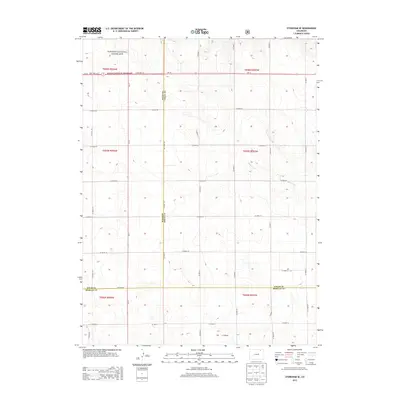
2013 Map of Stoneham SE
USGS Topo · Published 2013About this map
Pawnee National Grassland dominates the northern landscape of this high plains region where Weld, Logan, and Morgan counties converge. This 2013 survey documents a remote agricultural and grazing environment defined by a strict section-line road grid, including Co Road 84 and Co Road 153. The terrain is subtly shaped by ephemeral drainage patterns such as Sand Creek and the long, shallow depression of L F Draw in the south. Connectivity across the plains is maintained by State Hwy 14 in the north and the north-south corridor of Co-71. This map captures the modern rural infrastructure of northeastern Colorado, from livestock crossings to the intersection of county boundaries like the Weld Co Logan Co line.
Find a feature on this map
40 named features on this map. Tap any name to fly to it.
Don’t see what you’re looking for? This feature index may not catch every label — zoom into the map to look around manually.
Map Details
Editions of this 2013 Stoneham SE Map
This is the sole edition of this map. No revisions or reprints were ever made.
Other maps of this area

1951 · Dead Horse Springs
USGS Topo · 1:24,000

1951 · Willard
USGS Topo · 1:24,000

1951 · Messex
USGS Topo · 1:24,000

1951 · Antelope Springs
USGS Topo · 1:24,000

1951 · Wild Horse Lake
USGS Topo · 1:24,000

1954 · Sterling
USGS Topo · 1:250,000

1958 · Sterling
USGS Topo · 1:250,000

1971 · Messex
USGS Topo · 1:24,000

1977 · Stoneham
USGS Topo · 1:24,000

1977 · Stoneham NE
USGS Topo · 1:24,000