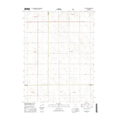
2016 Map of Stoneham SE
USGS Topo · Published 2016About this map
The high plains where Weld, Morgan, and Logan counties meet are defined by a rhythmic grid of sectional roads and ephemeral watercourses. This landscape, primarily used for ranching and dryland agriculture, is drained by the meandering path of Sand Cr and the topographical depression known as L F Draw. The map reveals a highly structured environment where the Public Land Survey System dictated the placement of travel routes like Co Rd 155 and Co Rd 26. For the local historian or researcher, the map preserves the precise alignment of these county boundaries and the network of numbered routes, such as Co Rd 157 and Co Rd JJ, which have connected these isolated corner properties for generations.
Find a feature on this map
33 named features on this map. Tap any name to fly to it.
Don’t see what you’re looking for? This feature index may not catch every label — zoom into the map to look around manually.
Map Details
Editions of this 2016 Stoneham SE Map
This is the sole edition of this map. No revisions or reprints were ever made.
Other maps of this area

1951 · Dead Horse Springs
USGS Topo · 1:24,000

1951 · Willard
USGS Topo · 1:24,000

1951 · Messex
USGS Topo · 1:24,000

1951 · Antelope Springs
USGS Topo · 1:24,000

1951 · Wild Horse Lake
USGS Topo · 1:24,000

1954 · Sterling
USGS Topo · 1:250,000

1958 · Sterling
USGS Topo · 1:250,000

1971 · Messex
USGS Topo · 1:24,000

1977 · Stoneham
USGS Topo · 1:24,000

1977 · Stoneham NE
USGS Topo · 1:24,000