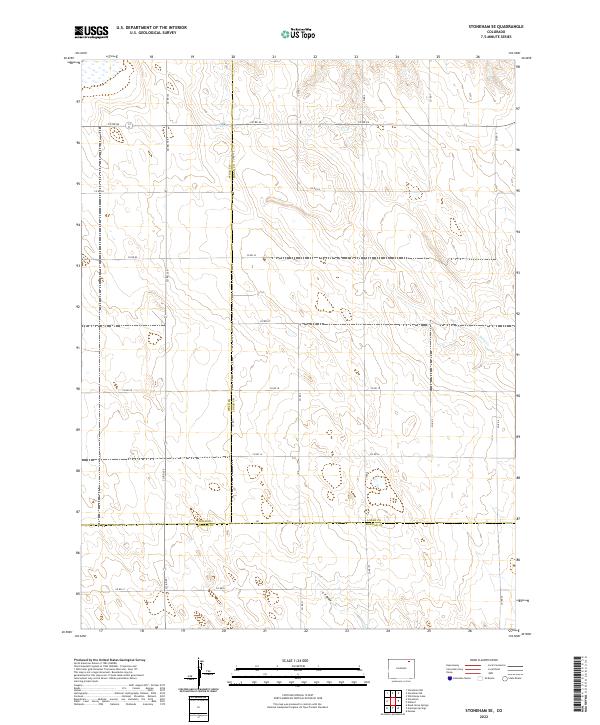
2022 Map of Stoneham SE
USGS Topo · Published 2022About this map
The high plains intersection where Weld Co Logan Co and Logan Co Morgan Co meet defines the character of this 2022 survey. This corner of Colorado is a landscape of grid-patterned ranch roads and intermittent watercourses, where the transition between counties is marked by straight-line boundaries like the one between Weld Co Morgan Co. The terrain is shaped by subtle drainage patterns, most notably the seasonal flow of Sand Cr in the northeast and the course of L F Draw in the south.
Find a feature on this map
22 named features on this map. Tap any name to fly to it.
Don’t see what you’re looking for? This feature index may not catch every label — zoom into the map to look around manually.
Map Details
Editions of this 2022 Stoneham SE Map
This is the sole edition of this map. No revisions or reprints were ever made.
Other maps of this area

1951 · Dead Horse Springs
USGS Topo · 1:24,000

1951 · Willard
USGS Topo · 1:24,000

1951 · Messex
USGS Topo · 1:24,000

1951 · Antelope Springs
USGS Topo · 1:24,000

1951 · Wild Horse Lake
USGS Topo · 1:24,000

1954 · Sterling
USGS Topo · 1:250,000

1958 · Sterling
USGS Topo · 1:250,000

1971 · Messex
USGS Topo · 1:24,000

1977 · Stoneham
USGS Topo · 1:24,000

1977 · Stoneham NE
USGS Topo · 1:24,000