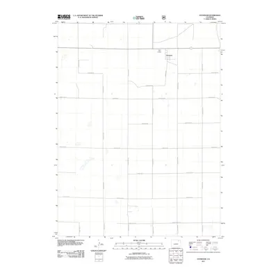
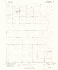
2011 Map of Stoneham
USGS Topo · Published 2011About this map
Stoneham anchors this High Plains landscape in northeastern Weld County, where a strict grid of section roads defines the agricultural character of the region. The settlement itself is a concentrated node within a vast network of rural routes, including Marble Ave and County Rd-149, which connect the isolated farmsteads of the area. A short distance northwest of the town center lies the Prairie View Cemetery, a significant landmark for those tracing family lineages in this part of Colorado. The map illustrates a meticulously planned surveyor's landscape, where the naming conventions of roads like County Road JJ and County Rd-84 provide a precise spatial record of the township and range system at the start of the 21st century.
Find a feature on this map
23 named features on this map. Tap any name to fly to it.
Don’t see what you’re looking for? This feature index may not catch every label — zoom into the map to look around manually.
Map Details
Editions of this 2011 Stoneham Map
This is the sole edition of this map. No revisions or reprints were ever made.
Other maps of this area
1951 · Dead Horse Springs
USGS Topo · 1:24,000
1951 · Antelope Springs
USGS Topo · 1:24,000
1951 · Peace Valley School
USGS Topo · 1:24,000

1954 · Sterling
USGS Topo · 1:250,000

1958 · Sterling
USGS Topo · 1:250,000
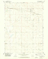
1977 · Stoneham
USGS Topo · 1:24,000
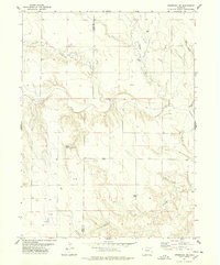
1977 · Stoneham NE
USGS Topo · 1:24,000
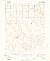
1977 · Raymer NE
USGS Topo · 1:24,000
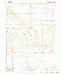
1978 · Stoneham NW
USGS Topo · 1:24,000
1978 · Raymer
USGS Topo · 1:24,000