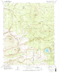
1965 Map of Stoneman Lake
USGS Topo · Published 1975About this map
Stoneman Lake anchors the southeastern portion of this map, appearing as a prominent natural depression within the high plateau of the Coconino National Forest. The landscape is defined by a dense network of volcanic and water-carved features, where numerous tanks and springs served as vital water sources for ranching operations like Woods Ranch. These water points, including Bristow Tank and Kelly Tank, are connected by an intricate web of primitive routes and a Jeep Trail. Evidence of local material extraction is visible at the Cinder Pit and Borrow Pit near the Yavapai and Coconino county line. The terrain transitions from high points like Lee Butte and Luke Mtn into deep drainages such as Rattlesnake Canyon and Rarick Canyon, illustrating the varied topography of the Mogollon Rim country during the mid-1960s.
Find a feature on this map
56 named features on this map. Tap any name to fly to it.
Don’t see what you’re looking for? This feature index may not catch every label — zoom into the map to look around manually.
Map Details
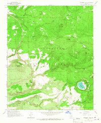
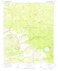
Editions of this 1965 Stoneman Lake Map
3 editions found
Other maps of this area

1887 · Verde
USGS Topo · 1:250,000

1892 · Verde
USGS Topo · 1:250,000

1923 · Camp Verde
USGS Topo · 1:125,000

1932 · Camp Verde
USGS Topo · 1:125,000

1936 · Camp Verde
USGS Topo · 1:125,000

1954 · Holbrook
USGS Topo · 1:250,000

1957 · Holbrook
USGS Topo · 1:250,000

1958 · Holbrook
USGS Topo · 1:250,000

1960 · Holbrook
USGS Topo · 1:250,000
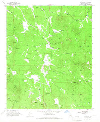
1965 · Hutch Mtn.
USGS Topo · 1:24,000