
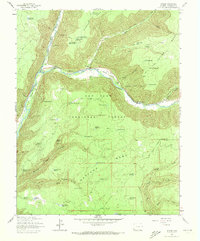
1963 Map of Stoner
USGS Topo · Published 1964About this map
Stoner serves as a central point of activity along the West Dolores River in this 1960s forest study. The map documents a landscape defined by water management and recreation within the San Juan National Forest, where an extensive system of reservoirs like Porter Reservoir and Akin Reservoir supports the high-elevation terrain. This era shows the local infrastructure for both summer and winter use, including The Forks Campground and the Stoner Ski Area north of the river.
Find a feature on this map
66 named features on this map. Tap any name to fly to it.
Don’t see what you’re looking for? This feature index may not catch every label — zoom into the map to look around manually.
Map Details
Editions of this 1963 Stoner Map
4 editions found
Other maps of this area

1895 · La Plata
USGS Topo · 1:62,500

1897 · La Plata
USGS Topo · 1:62,500

1897 · Rico
USGS Topo · 1:62,500

1898 · Rico
USGS Topo · 1:62,500

1899 · La Plata
USGS Topo · 1:62,500

1899 · Rico
USGS Topo · 1:62,500

1908 · La Plata
USGS Topo · 1:62,500

1956 · Cortez
USGS Topo · 1:250,000

1958 · Cortez
USGS Topo · 1:250,000

1959 · Cortez
USGS Topo · 1:250,000