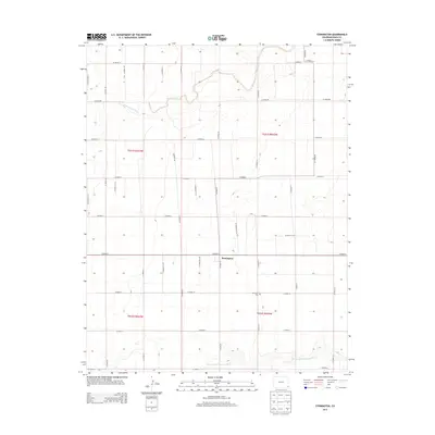
2013 Map of Stonington
USGS Topo · Published 2013About this map
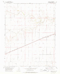
Stonington sits at the intersection of a vast grid of section roads in this high-plains landscape of Baca County. The settlement serves as the primary focal point of the quadrangle, anchored by the Stonington Cem to the south. The terrain is defined by the ephemeral drainages of Sand Arroyo Creek in the north and the meandering North Fork Cimarron River which carves through the southern sections. This 2013 survey illustrates the enduring township-and-range surveying system, with a dense network of numbered county routes such as CO Road 50 and CO Road X that facilitate movement between agricultural parcels. The geographical layout reflects the late twentieth and early twenty-first-century reliance on this precise road network to connect remote ranching and farming operations within the southeastern corner of Colorado.
Find a feature on this map
31 named features on this map. Tap any name to fly to it.
Don’t see what you’re looking for? This feature index may not catch every label — zoom into the map to look around manually.
Map Details
Editions of this 2013 Stonington Map
This is the sole edition of this map. No revisions or reprints were ever made.
Other maps of this area

1892 · Vilas
USGS Topo · 1:125,000

1955 · La Junta
USGS Topo · 1:250,000

1958 · La Junta
USGS Topo · 1:250,000

1968 · La Junta
USGS Topo · 1:250,000

1978 · Walsh SE
USGS Topo · 1:24,000
1978 · Midway
USGS Topo · 1:24,000
1978 · Walsh
USGS Topo · 1:24,000

1978 · Moore Draw NE
USGS Topo · 1:24,000
1978 · Midway NE
USGS Topo · 1:24,000
1978 · Bartlett
USGS Topo · 1:24,000