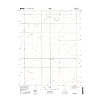
2016 Map of Stonington
USGS Topo · Published 2016About this map
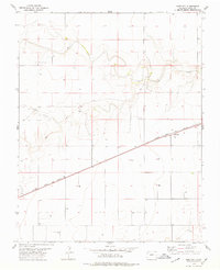
Stonington remains the central point of reference in this southeastern Colorado landscape, situated along the grid of county roads that define the region's agricultural layout. The settlement is anchored by the nearby Stonington Cem, which serves as a significant site for local history and genealogical research in this part of Baca County. The terrain is marked by the drainage patterns of the N Fork Cimarron River in the south and the winding course of Sand Arroyo Creek and its tributary Sand Arroyo Cr to the north. These natural waterways break the rigid geometric precision of the township and range lines, which are otherwise dominated by a network of local thoroughfares such as Co RD X and Co RD 49. The map provides a clear record of land division and rural infrastructure in the modern era.
Find a feature on this map
27 named features on this map. Tap any name to fly to it.
Don’t see what you’re looking for? This feature index may not catch every label — zoom into the map to look around manually.
Map Details
Editions of this 2016 Stonington Map
This is the sole edition of this map. No revisions or reprints were ever made.
Other maps of this area

1892 · Vilas
USGS Topo · 1:125,000

1955 · La Junta
USGS Topo · 1:250,000

1958 · La Junta
USGS Topo · 1:250,000

1968 · La Junta
USGS Topo · 1:250,000

1978 · Walsh SE
USGS Topo · 1:24,000
1978 · Midway
USGS Topo · 1:24,000
1978 · Walsh
USGS Topo · 1:24,000

1978 · Moore Draw NE
USGS Topo · 1:24,000
1978 · Midway NE
USGS Topo · 1:24,000
1978 · Bartlett
USGS Topo · 1:24,000